33 Daulston Road, Portsmouth, PO1 5RN
About 33 Daulston Road
33 Daulston Road is a two-bedroom mid-terrace house in Portsmouth (PO1 5RN). It has a recorded floor area of 76 m² (around 818 sq ft), construction records dating it to 1930-1949 and council tax band B. The latest certificate (January 2024) shows a C (score 71). The recommended improvements would push it to B (score 85).
Its energy rating outperforms most of the postcode (better than 74% of similar EPCs). Today's modelled estimate of £222,000 is 11% above the 2024 sale price. On a £-per-square-foot basis, the last sale (£244/sq ft) was about 77.9% above the typical sold price in the postcode. Last sale on file: £200,000 in April 2024.
What this property has
Inside
- Bedrooms2
- Bathrooms1
Everything you need to know about 33 Daulston Road
The true value, the hidden risks and the full sale history, in one report.
Pick your report · every report is £14.99
One time fee only - money back guarantee

The data behind every report


Energy performance
EPC Rating
Get a survey for this property
Level 2 HomeBuyer Report
We've checked 10 risk factors against the available data for this property and believe a Level 2 HomeBuyer Report could be a suitable option for you.
From £545 · Includes VAT
Planning history
33 Daulston Road has no planning applications on record.
But the area is active
33 notable applications nearby — larger schemes and conversions that could reshape the street. The report maps them all.
Sales history & valuation
33 Daulston Road valuation sits well clear of the typical sold price in this postcode.
£222,000
Modelled from EPC, postcode comparables.
£200,000
Recorded with HM Land Registry.
Sales timeline
23 April 2024Most recent
£200,000
Median price across the last 5 sales in PO1 5RN: £212,500 (2025–2023).
Nearby sales in PO1 5RN
Versus other Daulston Road homes
On epc rating, 33 Daulston Road stands well clear of the street.
Price per m²
£2,632
Street avg £1,963
Floor Area
76 m²
Street avg 75 m²
Habitable Rooms
4 rooms
Street avg 4 rooms
CO₂ Emissions
2.4 t/year
Street avg 3.2 t/year
Everything you need to know about 33 Daulston Road
The true value, the hidden risks and the full sale history, in one report.
Pick your report · every report is £14.99
One time fee only - money back guarantee
The data behind every report
Similar properties nearby
The neighbourhood at a glance
Crime
9/mo
Steady year-on-year across the wider district.
Nearest stop
0.3 km
Langley Road — bus stop.
Closest school
0.3 km
Manor Infant and Nursery School. 45 schools nearby.
Go deeper on the local area
A Local Area report breaks down crime, transport links, schools and air quality in depth.
Road noise across the postcode
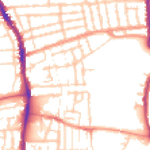
Daytime· 07:00 – 23:00
52.3dB

Night-time· 23:00 – 07:00
41.9dB