16 Langford Road, Portsmouth, PO1 5RJ
About 16 Langford Road
16 Langford Road is a three-bedroom mid-terrace house in Portsmouth (PO1 5RJ). It has a recorded floor area of 89 m² (around 958 sq ft), construction records dating it to 1900-1929 and council tax band B. The latest certificate (May 2014) shows a D (score 59), a step below the typical UK home. The recommended improvements would lift it to B (score 84), a 2-band jump. The latest certificate is from May 2014, so improvements made since then won't be reflected.
Across 2008–2014, sale prices on this property compounded at 1.1% per year. Today's modelled estimate of £209,000 sits 74.2% above the 2014 sale of £120,000. Last changed hands 12 years ago, in November 2014.
What this property has
Inside
- Bedrooms3
- Dining roomYes
- Utility roomYes
- CloakroomYes
Outside
- Private gardenYes
Everything you need to know about 16 Langford Road
The true value, the hidden risks and the full sale history, in one report.
Pick your report · every report is £14.99
One time fee only - money back guarantee

The data behind every report


Energy performance
Recommended upgrades on file would lift this property by multiple EPC bands.
EPC Expired
This certificate is over 10 years old and is no longer valid.Expired 11 May 2024
EPC Rating
Get a survey for this property
Level 3 Building Survey
Because the property was built before 1919, we believe a Level 3 building survey should be considered.
From £885 · Includes VAT
Planning history
16 Langford Road has no planning applications on record.
But the area is active
33 notable applications nearby — larger schemes and conversions that could reshape the street. The report maps them all.
Sales history & valuation
16 Langford Road valuation sits well clear of the typical sold price in this postcode.
£209,000
Modelled from EPC, postcode comparables and a sale-price growth of 1.1% per year over 6 years.
£120,000
Growth on file: 1.1% per year over 6 years.
Sales timeline
12 November 2014Most recent
£120,000
+7.1%over 6 years17 July 2008
£112,000
Median price across the last 5 sales in PO1 5RJ: £213,000 (2024–2021).
Nearby sales in PO1 5RJ
Versus other Langford Road homes
Price per m² for 16 Langford Road lags the street by a wide margin.
Price per m²
£1,348
Street avg £1,729
Floor Area
89 m²
Street avg 94 m²
Habitable Rooms
5 rooms
Street avg 5 rooms
CO₂ Emissions
4.1 t/year
Street avg 4.0 t/year
Everything you need to know about 16 Langford Road
The true value, the hidden risks and the full sale history, in one report.
Pick your report · every report is £14.99
One time fee only - money back guarantee
The data behind every report
Similar properties nearby
The neighbourhood at a glance
Crime
9/mo
Steady year-on-year across the wider district.
Nearest stop
0.1 km
Langley Road — bus stop.
Closest school
0.2 km
Penbridge Junior School. 45 schools nearby.
Go deeper on the local area
A Local Area report breaks down crime, transport links, schools and air quality in depth.
Road noise across the postcode
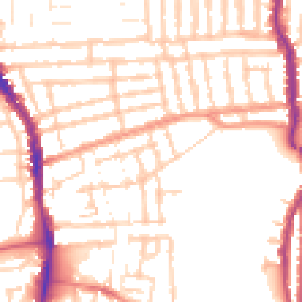
Daytime· 07:00 – 23:00
52.1dB

Night-time· 23:00 – 07:00
41.7dB