9 Clarkes Road, Portsmouth, PO1 5PR
About 9 Clarkes Road
9 Clarkes Road is a two-bedroom mid-terrace house in Portsmouth (PO1 5PR). It has a recorded floor area of 63 m² (around 678 sq ft), construction records dating it to 1900-1929 and council tax band B. The latest certificate (February 2021) shows a D (score 55), a step below the typical UK home. The recommended improvements would lift it to B (score 83), a 2-band jump.
Across 1999–2021, sale prices on this property compounded at 6.1% per year. Today's modelled estimate of £214,000 is 18.9% above the 2021 sale price. On a £-per-square-foot basis, the last sale (£265/sq ft) was about 72.3% above the typical sold price in the postcode. Most recent transfer: June 2021 at £180,000. That sale was during the post-pandemic price surge, when transactions cleared materially above pre-2020 trend.
What this property has
Inside
- Bedrooms2
- Bathrooms1
- Open-plan layoutYes
- Dining roomYes
Outside
- Private gardenRear
Building
- RefurbishedYes
Everything you need to know about 9 Clarkes Road
The true value, the hidden risks and the full sale history, in one report.
Pick your report · every report is £14.99
One time fee only - money back guarantee

The data behind every report


Energy performance
Recommended upgrades on file would lift this property by multiple EPC bands.
EPC Rating
Get a survey for this property
Level 3 Building Survey
Because the property was built before 1919, we believe a Level 3 building survey should be considered.
From £885 · Includes VAT
Planning history
9 Clarkes Road has no planning applications on record.
But the area is active
33 notable applications nearby — larger schemes and conversions that could reshape the street. The report maps them all.
Sales history & valuation
Sale price has grown by over 3x since 1999.
£214,000
Modelled from EPC, postcode comparables and a sale-price growth of 6.1% per year over 22 years.
£180,000
Growth on file: 6.1% per year over 22 years.
Sales timeline
24 June 2021Most recent
£180,000
+267.3%over 22 years27 May 1999
£49,000
Median price across the last 5 sales in PO1 5PR: £218,820 (2025–2022).
Nearby sales in PO1 5PR
Versus other Clarkes Road homes
EPC Rating for 9 Clarkes Road lags the street by a wide margin.
Price per m²
£2,857
Street avg £2,144
Floor Area
63 m²
Street avg 69 m²
Habitable Rooms
3 rooms
Street avg 4 rooms
CO₂ Emissions
3.5 t/year
Street avg 3.1 t/year
Everything you need to know about 9 Clarkes Road
The true value, the hidden risks and the full sale history, in one report.
Pick your report · every report is £14.99
One time fee only - money back guarantee
The data behind every report
Similar properties nearby
The neighbourhood at a glance
Rail-style transport is unusually close for this postcode.
Crime
9/mo
Steady year-on-year across the wider district.
Nearest stop
0.2 km
Kingston Cemetery — bus stop.
Closest school
0.5 km
Penbridge Infant School & Nursery. 42 schools nearby.
Go deeper on the local area
A Local Area report breaks down crime, transport links, schools and air quality in depth.
Road noise across the postcode
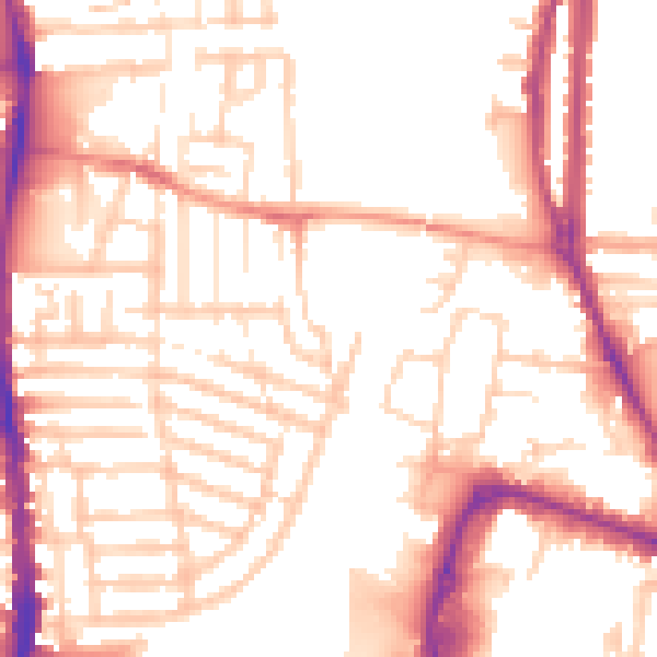
Daytime· 07:00 – 23:00
53.3dB

Night-time· 23:00 – 07:00
43.0dB