51 Guildford Road, Portsmouth, PO1 5HU
About 51 Guildford Road
51 Guildford Road is a three-bedroom mid-terrace house in Portsmouth (PO1 5HU). It has a recorded floor area of 88 m² (around 947 sq ft), construction records dating it to 1900-1929 and council tax band B. The latest certificate (February 2024) shows a D (score 57), a step below the typical UK home. The recommended improvements would push it to C (score 75).
Across 2000–2024, sale prices on this property compounded at 5.9% per year. On a £-per-square-foot basis, the last sale (£259/sq ft) was about 100.1% above the typical sold price in the postcode. Last sale on file: £245,000 in October 2024.
What this property has
Inside
- Bedrooms3
- Bathrooms1
- Dining roomYes
Outside
- Private gardenRear
Everything you need to know about 51 Guildford Road
The true value, the hidden risks and the full sale history, in one report.
Pick your report · every report is £14.99
One time fee only - money back guarantee

The data behind every report


Energy performance
EPC Rating
Get a survey for this property
Level 3 Building Survey
Because the property was built before 1919, we believe a Level 3 building survey should be considered.
From £885 · Includes VAT
Planning history
51 Guildford Road has no planning applications on record.
But the area is active
33 notable applications nearby — larger schemes and conversions that could reshape the street. The report maps them all.
Sales history & valuation
Latest sale on 51 Guildford Road was the highest on Land Registry record across the postcode.
£253,000
Modelled from EPC, postcode comparables and a sale-price growth of 5.9% per year over 25 years.
£245,000
Growth on file: 5.9% per year over 25 years.
Sales timeline
17 October 2024Most recent
£245,000
+308.3%over 24 years28 January 2000
£60,000
Median price across the last 5 sales in PO1 5HU: £217,000 (2025–2021).
Nearby sales in PO1 5HU
Versus other Guildford Road homes
Price per m² for 51 Guildford Road runs comfortably ahead of the street norm.
Price per m²
£2,784
Street avg £1,727
Floor Area
88 m²
Street avg 85 m²
Habitable Rooms
5 rooms
Street avg 4 rooms
CO₂ Emissions
4.3 t/year
Street avg 3.4 t/year
Everything you need to know about 51 Guildford Road
The true value, the hidden risks and the full sale history, in one report.
Pick your report · every report is £14.99
One time fee only - money back guarantee
The data behind every report
Similar properties nearby
The neighbourhood at a glance
Rail-style transport is unusually close for this postcode.
Crime
9/mo
Steady year-on-year across the wider district.
Nearest stop
0.1 km
Shearer Road — bus stop.
Closest school
0.2 km
The Portsmouth Academy. 43 schools nearby.
Go deeper on the local area
A Local Area report breaks down crime, transport links, schools and air quality in depth.
Road noise across the postcode
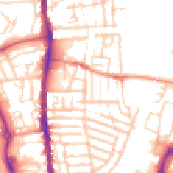
Daytime· 07:00 – 23:00
53.1dB

Night-time· 23:00 – 07:00
42.3dB