41 April Square, Portsmouth, PO1 4DX
About 41 April Square
41 April Square is a two-bedroom end-of-terrace house in Portsmouth (PO1 4DX). It has a recorded floor area of 75 m² (around 807 sq ft), construction records dating it to 2003-2006 and council tax band B. The latest certificate (December 2021) shows a C (score 73). The recommended improvements would push it to B (score 88).
Sold October 2023 for £220,000.
What this property has
Inside
- Bedrooms2
- Dining roomYes
Outside
- DrivewayYes
Building
- Heating systemGas
Everything you need to know about 41 April Square
The true value, the hidden risks and the full sale history, in one report.
Pick your report · every report is £14.99
One time fee only - money back guarantee

The data behind every report


Energy performance
EPC Rating
Get a survey for this property
Level 2 HomeBuyer Report
We've checked 10 risk factors against the available data for this property and believe a Level 2 HomeBuyer Report could be a suitable option for you.
From £545 · Includes VAT
Planning history
41 April Square has no planning applications on record.
But the area is active
2 notable applications nearby — larger schemes and conversions that could reshape the street. The report maps them all.
Sales history & valuation
£240,000
Modelled from EPC, postcode comparables.
£220,000
Recorded with HM Land Registry.
Sales timeline
5 October 2023Most recent
£220,000
Versus other April Square homes
Habitable Rooms for 41 April Square lags the street by a wide margin.
EPC Rating
73 (C)
Street avg 73 (C)
Floor Area
75 m²
Street avg 82 m²
CO₂ Emissions
2.1 t/year
Street avg 2.3 t/year
Habitable Rooms
2 rooms
Street avg 4 rooms
Everything you need to know about 41 April Square
The true value, the hidden risks and the full sale history, in one report.
Pick your report · every report is £14.99
One time fee only - money back guarantee
The data behind every report
Similar properties nearby
The neighbourhood at a glance
Rail-style transport is unusually close for this postcode.
Crime
9/mo
Steady year-on-year across the wider district.
Nearest stop
0.1 km
Cornmill Street — bus stop.
Closest school
0.2 km
Arundel Court Primary Academy and Nursery. 42 schools nearby.
Go deeper on the local area
A Local Area report breaks down crime, transport links, schools and air quality in depth.
Road noise across the postcode
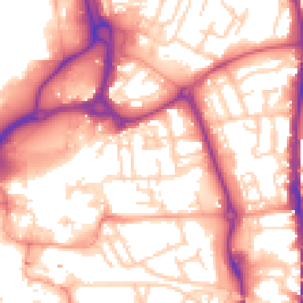
Daytime· 07:00 – 23:00
56.9dB

Night-time· 23:00 – 07:00
46.5dB