2 Farthingale Terrace, Peacock Lane, Portsmouth, PO1 2TL
About 2 Farthingale Terrace
2 Farthingale Terrace is a three-bedroom mid-terrace house in Portsmouth (PO1 2TL). It has a recorded floor area of 76 m² (around 818 sq ft), construction records dating it to 1976-1982 and council tax band D. The latest certificate (September 2014) shows a D (score 68), on the cusp of jumping into the C band. The recommended improvements would lift it to B (score 91), a 2-band jump. The latest certificate is from September 2014, so improvements made since then won't be reflected.
A recent sale: £420,000 in February 2025. Across 2003–2025, sale prices on this property compounded at 3.4% per year. On a £-per-square-foot basis, the last sale (£513/sq ft) was about 140.8% above the typical sold price in the postcode.
What this property has
Inside
- Bedrooms3
- Bathrooms1
Outside
- Private gardenYes
- GarageYes
Building
- Heating systemGas
- RefurbishedYes
Everything you need to know about 2 Farthingale Terrace
The true value, the hidden risks and the full sale history, in one report.
Pick your report · every report is £14.99
One time fee only - money back guarantee

The data behind every report


Energy performance
Recommended upgrades on file would lift this property by multiple EPC bands.
EPC Expired
This certificate is over 10 years old and is no longer valid.Expired 24 Sept 2024
EPC Rating
Get a survey for this property
Level 2 HomeBuyer Report
We've checked 10 risk factors against the available data for this property and believe a Level 2 HomeBuyer Report could be a suitable option for you.
From £695 · Includes VAT
Planning history
2 Farthingale Terrace has no planning applications on record.
A planning report still maps activity across the surrounding area and reads this property's extension & conversion potential.
Sales history & valuation
Latest sale on 2 Farthingale Terrace was the highest on Land Registry record across the postcode.
£423,000
Modelled from EPC, postcode comparables and a sale-price growth of 3.4% per year over 22 years.
£420,000
Growth on file: 3.4% per year over 22 years.
Sales timeline
28 February 2025Most recent
£420,000
+29.2%over 7 years18 December 2017
£325,000
+63.3%over 14 years10 February 2003
£199,000
Median price across the last 5 sales in PO1 2TL: £250,000 (2019–2006).
Nearby sales in PO1 2TL
3 Farthingale Terrace, Peacock Lane, Portsmouth, PO1 2TL
Sold Dec 2019
£337,5001 Farthingale Terrace, Peacock Lane, Portsmouth, PO1 2TL
Sold Jun 2016
£279,9957 Farthingale Terrace, Peacock Lane, Portsmouth, PO1 2TL
Sold Apr 2013
£223,0005 Farthingale Terrace, Peacock Lane, Portsmouth, PO1 2TL
Sold Jan 2011
£250,0006 Farthingale Terrace, Peacock Lane, Portsmouth, PO1 2TL
Sold Jun 1997
£84,995
Versus other Farthingale Terrace homes
2 Farthingale Terrace outperforms the street on price per m² by a wide margin.
Price per m²
£5,526
Street avg £3,178
Floor Area
76 m²
Street avg 90 m²
Habitable Rooms
4 rooms
Street avg 4 rooms
CO₂ Emissions
2.7 t/year
Street avg 3.6 t/year
Everything you need to know about 2 Farthingale Terrace
The true value, the hidden risks and the full sale history, in one report.
Pick your report · every report is £14.99
One time fee only - money back guarantee
The data behind every report
Similar properties nearby
1 Halfpenny Lane
PO1 2TU
1 King James Terrace, Broad Street
PO1 2LL
1 Blount Road
PO1 2TD
1 Farthingale Terrace, Peacock Lane
PO1 2TL
1 Hanover Court, Highbury Street
PO1 2BN
1 Chadderton Gardens
PO1 2TE
1 Oyster Mews, French Street
PO1 2JS
1 Captains Row
PO1 2TT
The neighbourhood at a glance
Rail-style transport is unusually close for this postcode.
Crime
9/mo
Steady year-on-year across the wider district.
Nearest stop
0.1 km
St Thomas Cathedral — bus stop.
Closest school
0.1 km
St Jude's CofE Primary School. 27 schools nearby.
Go deeper on the local area
A Local Area report breaks down crime, transport links, schools and air quality in depth.
Road noise across the postcode
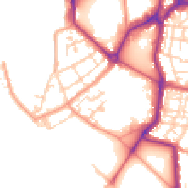
Daytime· 07:00 – 23:00
51.6dB

Night-time· 23:00 – 07:00
43.0dB