1 Baron Mews, Market Deeping, Peterborough, PE6 8FH
About 1 Baron Mews
1 Baron Mews is a semi-detached house in Market Deeping, Peterborough, Peterborough (PE6 8FH). It has a recorded floor area of 70 m² (around 753 sq ft) and council tax band B. The latest certificate (August 2013) shows a C (score 79), near the top of the C band. The latest certificate is from August 2013, so improvements made since then won't be reflected.
Everything you need to know about 1 Baron Mews
The true value, the hidden risks and the full sale history, in one report.
Pick your report · every report is £14.99
One time fee only - money back guarantee

The data behind every report


Energy performance
1 Baron Mews's carbon output is low for the local stock.
EPC Expired
This certificate is over 10 years old and is no longer valid.Expired 28 Aug 2023
EPC Rating
Get a survey for this property
Level 2 HomeBuyer Report
We've checked 10 risk factors against the available data for this property and believe a Level 2 HomeBuyer Report could be a suitable option for you.
From £495 · Includes VAT
Planning history
1 Baron Mews has no planning applications on record.
But the area is active
6 notable applications nearby — larger schemes and conversions that could reshape the street. The report maps them all.
Sales history & valuation
1 Baron Mews has no Land Registry sales on file, suggesting it has stayed in the same hands since registration began.
£182,000
Modelled from EPC, postcode comparables.
No sales recorded with HM Land Registry
That can mean the property has never traded since the registry began publishing in 1995, was a new build that hasn't been registered yet, or is held in the same hands long-term.
Versus other Baron Mews homes
1 Baron Mews is notably below the street on epc rating.
EPC Rating
79 (C)
Street avg 80 (C)
Floor Area
70 m²
Street avg 76 m²
CO₂ Emissions
1.5 t/year
Street avg 1.5 t/year
Everything you need to know about 1 Baron Mews
The true value, the hidden risks and the full sale history, in one report.
Pick your report · every report is £14.99
One time fee only - money back guarantee
The data behind every report
Similar properties nearby
1 Black Prince Avenue, Market Deeping
PE6 8LR
1 Abel Close, Deeping St James
PE6 8TN
1 Apple Tree Close, Deeping St James
PE6 8RF
1 Anson Court, Market Deeping
PE6 8AU
1 Boundary Terrace, Bridge Street, Deeping St James
PE6 8BF
1 Beaufort Avenue, Market Deeping
PE6 8JD
1 Blackthorn Close, Deeping St James
PE6 8TA
1 Braeburn Road, Deeping St James
PE6 8GP
The neighbourhood at a glance
Daytime road noise here sits well below conversation level — a quiet pocket of the postcode.
Crime
2/mo
Steady year-on-year across the wider district.
Nearest stop
0.3 km
Tesco — bus stop.
Closest school
0.3 km
Market Deeping Community Primary School. 6 schools nearby.
Go deeper on the local area
A Local Area report breaks down crime, transport links, schools and air quality in depth.
Road noise across the postcode
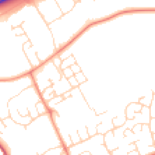
Daytime· 07:00 – 23:00
49.7dB

Night-time· 23:00 – 07:00
39.1dB