3 Snowden Close, Crowland, Peterborough, PE6 0AY
About 3 Snowden Close
3 Snowden Close is a four-bedroom detached house in Crowland, Peterborough, Peterborough (PE6 0AY). It has a recorded floor area of 130 m² (around 1395 sq ft), construction records dating it to 1991-1995 and council tax band D. The latest certificate (July 2011) shows a D (score 68), on the cusp of jumping into the C band. The recommended improvements would push it to C (score 74). The latest certificate is from July 2011, so improvements made since then won't be reflected.
Today's modelled estimate of £351,000 is 44.7% above the 2013 sale price. On a £-per-square-foot basis, the last sale (£174/sq ft) was about 90.7% above the typical sold price in the postcode. On the market in May 2013 and unlisted since — roughly 13 years.
What this property has
Inside
- Bedrooms4
- Bathrooms2
Everything you need to know about 3 Snowden Close
The true value, the hidden risks and the full sale history, in one report.
Pick your report · every report is £14.99
One time fee only - money back guarantee

The data behind every report


Energy performance
3 Snowden Close's EPC is over a decade old — improvements since won't be reflected.
EPC Expired
This certificate is over 10 years old and is no longer valid.Expired 22 Jul 2021
EPC Rating
Get a survey for this property
Level 2 HomeBuyer Report
We've checked 10 risk factors against the available data for this property and believe a Level 2 HomeBuyer Report could be a suitable option for you.
From £595 · Includes VAT
Planning history
3 Snowden Close has no planning applications on record.
But the area is active
2 notable applications nearby — larger schemes and conversions that could reshape the street. The report maps them all.
Sales history & valuation
Latest sale on 3 Snowden Close was the highest on Land Registry record across the postcode.
£351,000
Modelled from EPC, postcode comparables and a sale-price growth of -0.3% per year over 6 years.
£242,500
Growth on file: -0.3% per year over 6 years.
Sales timeline
30 May 2013Most recent
£242,500
-1.8%over 6 years6 March 2007
£247,000
Median price across the last 5 sales in PE6 0AY: £117,500 (2011–1998).
Everything you need to know about 3 Snowden Close
The true value, the hidden risks and the full sale history, in one report.
Pick your report · every report is £14.99
One time fee only - money back guarantee
The data behind every report
Similar properties nearby
1 Burghley Close, Crowland
PE6 0JY
1 Ash Close, Thorney
PE6 0QS
1 Abbey Mews, Crowland
PE6 0EH
1 Beech Close, Thorney
PE6 0QP
1 Ambury Gardens, Crowland
PE6 0ET
1 Alderlands Close, Crowland
PE6 0BS
1 Beechcroft Gardens, Crowland
PE6 0DT
1 Broadway, Crowland
PE6 0BJ
The neighbourhood at a glance
Crime
2/mo
Steady year-on-year across the wider district.
Nearest stop
0.2 km
South View Primary School — bus stop.
Closest school
0.7 km
South View Community Primary School. 1 school nearby.
Go deeper on the local area
A Local Area report breaks down crime, transport links, schools and air quality in depth.
Road noise across the postcode
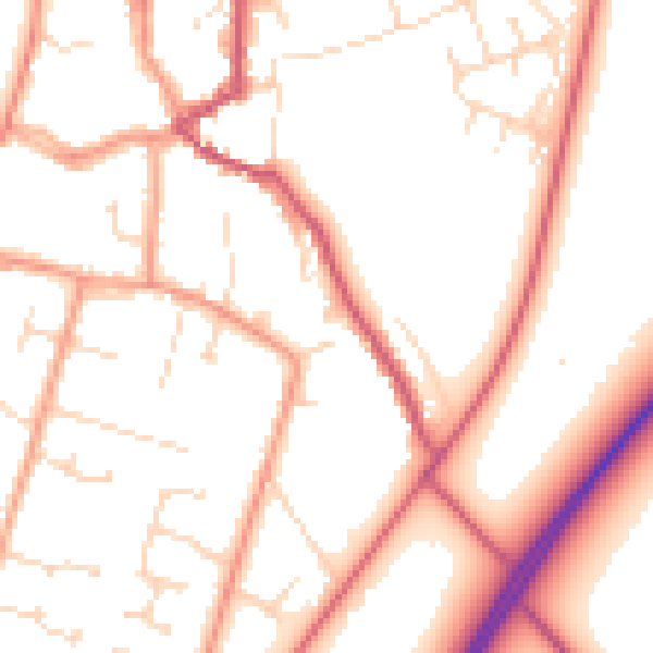
Daytime· 07:00 – 23:00
52.7dB
Night-time· 23:00 – 07:00
42.4dB