39a, Cranmer Road, Oxford, OX4 2QA
About 39a
39a is a mid-terrace house in Oxford (OX4 2QA). It has a recorded floor area of 42 m² (around 452 sq ft) and construction records dating it to 1950-1966. At 42 m² this is the smallest unit on EPC record across the building (42–108 m²). The building's EPC ratings span F to C across 15 units on file. The latest certificate (December 2023) shows a D (score 61), on the cusp of jumping into the C band. When first surveyed in July 2015 the rating was E, the property has climbed 1 band since. The recommended improvements would push it to C (score 74). Main heating runs on electricity.
At 42 m² it sits well below the postcode median (82 m² across 14 EPCs), making it one of the more compact homes locally.
Know exactly what you're buying at 39a
Before you offer, see what the listing won't tell you, the true value, the red flags and the full history.
Already flagged here
Valuation
against the asking price
Risks
planning & flood
Sold prices
similar homes nearby
Trends
the local market
Energy performance
EPC Rating
Property Improvements
Changes detected from historical EPC data
Planning history
39a has no planning applications on record.
Notable planning nearby
44applications of note in the surrounding area
We flagged 2 things worth checking at 39a
Independent checks surfaced things a buyer would want to understand before offering. The report explains each one in full, with the underlying data and what to ask.
- Signs of HMO activity in the area
- Larger development activity nearby
30-day money-back guarantee
Sales history & valuation
39a has no Land Registry sales on file, suggesting it has stayed in the same hands since registration began.
£201,000
Modelled from EPC, postcode comparables.
No sales recorded with HM Land Registry
That can mean the property has never traded since the registry began publishing in 1995, was a new build that hasn't been registered yet, or is held in the same hands long-term.
Median price across the last 5 sales in OX4 2QA: £390,000 (2025–2018).
Everything we know about 39a, in one report
What it's really worth, what could be wrong, and the planning, sales and area data in full.
What we flagged
- Signs of HMO activity in the area
- Larger development activity nearby

Similar properties nearby
The neighbourhood at a glance
Crime
7/mo
Steady year-on-year across the wider district.
Nearest stop
0.2 km
Paul Kent Hall — bus stop.
Closest school
0.4 km
St Francis Church of England Primary School. 25 schools nearby.
Go deeper on the local area
The full report breaks down crime, transport links, schools and air quality in depth.
Road noise across the postcode
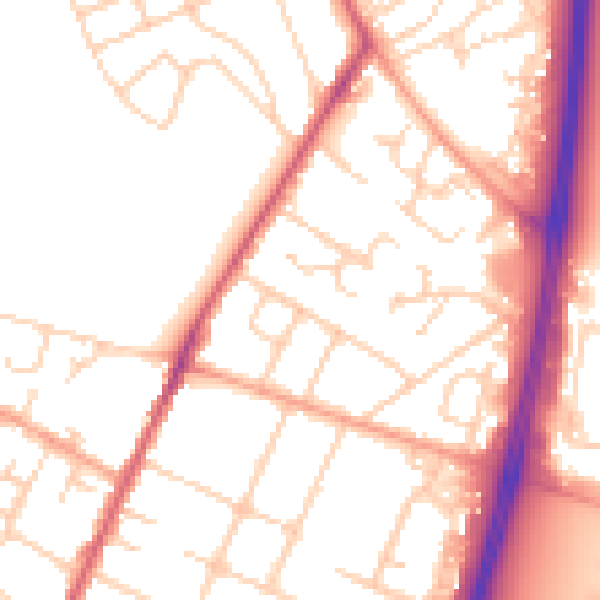
Daytime· 07:00 – 23:00
52.2dB

Night-time· 23:00 – 07:00
43.0dB