Torcan, Mollington, Banbury, OX17 1AZ
About Torcan
Torcan is a property in Mollington, Banbury, Banbury (OX17 1AZ).
One planning record on file: tree works approved in 2022. Past consents include tree works, meaningful when judging how the property has evolved. Across 2001–2024, sale prices on this property compounded at 3.1% per year. Sold October 2024 for £347,500.
Everything you need to know about Torcan
The true value, the hidden risks and the full sale history, in one report.
Pick your report · every report is £14.99
One time fee only - money back guarantee

The data behind every report


Energy performance
No EPC on record
This property doesn't have an Energy Performance Certificate yet. An EPC is required to sell or let — and unlocks our automated valuation.
Get a survey for this property
Level 2 HomeBuyer Report
We've checked 10 risk factors against the available data for this property and believe a Level 2 HomeBuyer Report could be a suitable option for you.
Planning history
1 application on record at Torcan, Mollington, Banbury, OX17 1AZ
- Jun 2022Tree WorksTreesOutcome in report
T2 x Hawthorn - Reduce to 3.5m in height and limit to a maximum of 4.0m through biennial pruning. T3 x Willow - Remove (fell) to near ground level and treat stump to inhibit regrowth. T4 x Sycamore - Remove (fell) to near ground level and treat stump to inhibit regrowth. Reason: Clay shrinkage subsidence damage at the property.
- Documents
- 8 docs on file
- Reference
- 22/01434/TCA
Unlock Torcan, Mollington, Banbury, OX17 1AZ's full planning history
You're seeing the shape of it. The report has the substance.
- Every decision — granted, refused or withdrawn (1 on record)
- All 1 application on this property in full, plus 7 notable nearby
- The 8 documents, officer reports & conditions
- What the pattern means for extending or converting here
One time fee only - money back guarantee
Sales history & valuation
Torcan has more than doubled in price since the earliest registered sale in 2001.
£347,500
Growth on file: 3.1% per year over 23 years.
Sales timeline
6 October 2024Most recent
£347,500
+22.6%over 20 years2 September 2004
£283,500
+64.8%over 3 years31 May 2001
£172,000
Median price across the last 5 sales in OX17 1AZ: £440,000 (2024–2022).
Nearby sales in OX17 1AZ
Church Lane, The Granary, Mollington, Banbury, OX17 1AZ
Sold Oct 2024
£120,000Rose Bank, Mollington, Banbury, OX17 1AZ
Sold Sept 2024
£410,000Church Lane, Church Farm House, Mollington, Banbury, OX17 1AZ
Sold Jul 2024
£1,050,000Fairways, Mollington, Banbury, OX17 1AZ
Sold Dec 2022
£440,000Church Lane, Church Farm Cottage, Mollington, Banbury, OX17 1AZ
Sold Sept 2022
£820,000
Everything you need to know about Torcan
The true value, the hidden risks and the full sale history, in one report.
Pick your report · every report is £14.99
One time fee only - money back guarantee
The data behind every report
Similar properties nearby
1 Culworth Road, Chipping Warden
OX17 1LB
1 Bignolds Close, Claydon
OX17 1ER
1 Buzzards Close, Little Bourton
OX17 1RN
1 Byfield Road, Chipping Warden
OX17 1LE
1 Chapel Street, Warmington
OX17 1DB
1 Church Lane, Mollington
OX17 1AZ
1 Chapel Cottages, Wardington
OX17 1SP
1 Chapel Green, High Street, Cropredy
OX17 1NG
The neighbourhood at a glance
Crime
2/mo
Steady year-on-year across the wider district.
Nearest stop
0.1 km
Chestnut Road — bus stop.
Closest school
2.9 km
Cropredy Church of England Primary School. 1 school nearby.
Go deeper on the local area
A Local Area report breaks down crime, transport links, schools and air quality in depth.
Road noise across the postcode
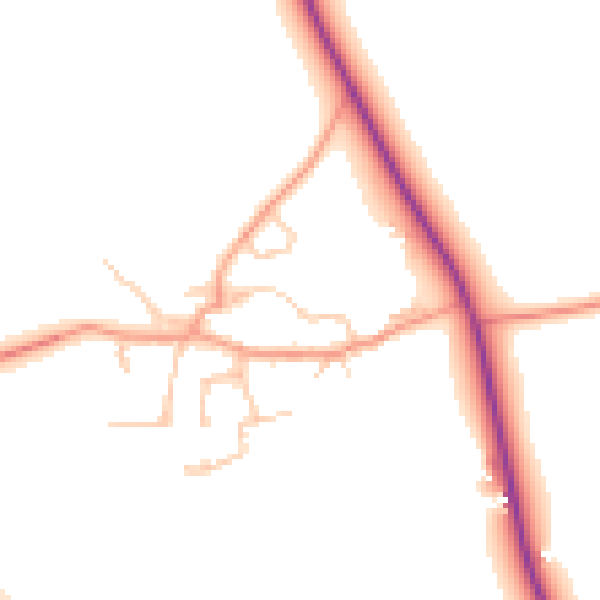
Daytime· 07:00 – 23:00
51.2dB

Night-time· 23:00 – 07:00
44.4dB