16 Forest Side, Kennington, Oxford, OX1 5LQ
About 16 Forest Side
16 Forest Side is a property in Kennington, Oxford, Oxford (OX1 5LQ). It has council tax band F.
Untraded for 26 years, with the last transfer in November 2000. Only one transfer is on record with HM Land Registry, suggesting it has stayed in the same hands for a long time. 2 planning records sit against the property, 0 approved, 0 refused.
Everything you need to know about 16 Forest Side
The true value, the hidden risks and the full sale history, in one report.
30-day money-back guarantee

The data behind every report


Energy performance
No EPC on record
This property doesn't have an Energy Performance Certificate yet. An EPC is required to sell or let — and unlocks our automated valuation.
Planning history
- Oct 2003ExtensionIn report
Alterations and extension.
- Documents
- 2 docs on file
- Reference
- P03/V1515
- Aug 2003ExtensionIn report
Alterations and extension.
- Documents
- 2 docs on file
- Reference
- P03/V1046
We flagged 1 thing worth checking at 16 Forest Side
Independent checks surfaced things a buyer would want to understand before offering. The report explains each one in full, with the underlying data and what to ask.
- Larger development activity nearby
30-day money-back guarantee
Sales history & valuation
£198,000
Recorded with HM Land Registry.
Sales timeline
10 November 2000Most recent
£198,000
Median price across the last 5 sales in OX1 5LQ: £500,000 (2022–2017).
Nearby sales in OX1 5LQ
1 Forest Side, Kennington, Oxford, OX1 5LQ
Sold Aug 2022
£700,00021 Forest Side, Kennington, Oxford, OX1 5LQ
Sold Aug 2020
£418,0007 Forest Side, Kennington, Oxford, OX1 5LQ
Sold Sept 2018
£540,00019 Forest Side, Kennington, Oxford, OX1 5LQ
Sold Aug 2017
£445,0002 Forest Side, Kennington, Oxford, OX1 5LQ
Sold Jul 2010
£345,000
Everything you need to know about 16 Forest Side
The true value, the hidden risks and the full sale history, in one report.
30-day money-back guarantee
The data behind every report
Similar properties nearby
1 Bagley Close, Kennington
OX1 5LS
1 Grundy Crescent, Kennington
OX1 5PS
1 Jackson Drive, Kennington
OX1 5LL
1 Chilswell Path
OX1 5AP
1 Chilswell Farm Cottages, Boars Hill
OX1 5EP
1 Kirk Close, Kennington
OX1 5PX
1 Edward Road, Kennington
OX1 5LH
1 Fairways, Kennington
OX1 5RQ
The neighbourhood at a glance
Reported crime in the wider district is trending notably upward year-on-year.
Crime
6/mo
Rising year-on-year across the wider district.
Nearest stop
0.3 km
Upper Road — bus stop.
Closest school
1.1 km
St Swithun's CofE Primary School. 12 schools nearby.
Go deeper on the local area
The full report breaks down crime, transport links, schools and air quality in depth.
Road noise across the postcode
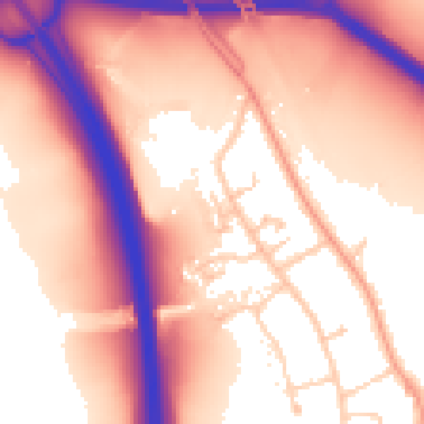
Daytime· 07:00 – 23:00
59.2dB

Night-time· 23:00 – 07:00
52.7dB