19 Norreys Avenue, Oxford, OX1 4ST
About 19 Norreys Avenue
19 Norreys Avenue is a three-bedroom property in Oxford (OX1 4ST). It has council tax band D. Period features are noted in the property record.
Untraded for 19 years, with the last transfer in September 2007. That sale landed at the peak of the pre-credit-crunch market, which is a useful reference point when interpreting the price. Across 1998–2007, sale prices on this property compounded at 12.6% per year. One historical planning record sits against the property in 2007.
What this property has
Inside
- Bedrooms3
Outside
- Private gardenSouth-facing
Building
- Heating systemGas
- Period featuresYes
- RefurbishedYes
Everything you need to know about 19 Norreys Avenue
The true value, the hidden risks and the full sale history, in one report.
30-day money-back guarantee

The data behind every report


Energy performance
No EPC on record
This property doesn't have an Energy Performance Certificate yet. An EPC is required to sell or let — and unlocks our automated valuation.
Planning history
- Nov 2007Loft ConversionOutlineIn report
Loft conversion.
- Documents
- 2 docs on file
- Reference
- 07/02477/PDC
We flagged 3 things worth checking at 19 Norreys Avenue
Independent checks surfaced things a buyer would want to understand before offering. The report explains each one in full, with the underlying data and what to ask.
- Signs of HMO activity in the area
- Larger development activity nearby
- Environmental risk flagged
30-day money-back guarantee
Sales history & valuation
19 Norreys Avenue has more than doubled in price since the earliest registered sale in 1998.
£460,000
Growth on file: 12.6% per year over 9 years.
Sales timeline
4 September 2007Most recent
£460,000
+97.8%over 6 years30 August 2001
£232,500
+45.3%over 2 years1 October 1998
£160,000
Median price across the last 5 sales in OX1 4ST: £532,500 (2025–2017).
Everything you need to know about 19 Norreys Avenue
The true value, the hidden risks and the full sale history, in one report.
30-day money-back guarantee
The data behind every report
Similar properties nearby
The neighbourhood at a glance
Reported crime in the wider district is trending notably upward year-on-year.
Crime
6/mo
Rising year-on-year across the wider district.
Nearest stop
0.2 km
Lincoln Road — bus stop.
Closest school
0.2 km
New Hinksey Church of England Primary School. 18 schools nearby.
Go deeper on the local area
The full report breaks down crime, transport links, schools and air quality in depth.
Road noise across the postcode
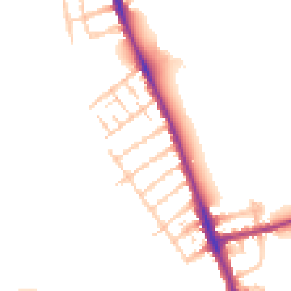
Daytime· 07:00 – 23:00
50.9dB

Night-time· 23:00 – 07:00
44.0dB