6 Buckingham Street, Oxford, OX1 4LH
About 6 Buckingham Street
6 Buckingham Street is a three-bedroom mid-terrace house in Oxford (OX1 4LH). It has a recorded floor area of 96 m² (around 1032 sq ft), construction records dating it to before 1900 and council tax band D. The latest certificate (June 2011) shows a D (score 55), a step below the typical UK home. The latest certificate is from June 2011, so improvements made since then won't be reflected.
Today's modelled estimate of £674,000 is 15.2% above the 2020 sale price. On a £-per-square-foot basis, the last sale (£567/sq ft) was about 88.2% above the typical sold price in the postcode. At 96 m² it's 17.7% smaller than the typical home in the postcode (117 m² median across 24 EPCs). Last sale on file: £585,000 in July 2020.
What this property has
Inside
- Bedrooms3
- Bathrooms2
Everything you need to know about 6 Buckingham Street
The true value, the hidden risks and the full sale history, in one report.
30-day money-back guarantee

The data behind every report


Energy performance
6 Buckingham Street's carbon output runs well above what efficient homes in the postcode produce.
EPC Expired
This certificate is over 10 years old and is no longer valid.Expired 20 Jun 2021
EPC Rating
Planning history
6 Buckingham Street has no planning applications on record.
Notable planning nearby
21applications of note in the surrounding area
We flagged 2 things worth checking at 6 Buckingham Street
Independent checks surfaced things a buyer would want to understand before offering. The report explains each one in full, with the underlying data and what to ask.
- Signs of HMO activity in the area
- Larger development activity nearby
30-day money-back guarantee
Sales history & valuation
The latest sale landed in the post-pandemic price surge — useful context when reading the figure.
£674,000
Modelled from EPC, postcode comparables.
£585,000
Recorded with HM Land Registry.
Sales timeline
22 July 2020Most recent
£585,000
Median price across the last 5 sales in OX1 4LH: £450,000 (2025–2022).
Nearby sales in OX1 4LH
Versus other Buckingham Street homes
6 Buckingham Street is notably below the street on co₂ emissions.
Price per m²
£6,105
Street avg £4,658
Floor Area
96 m²
Street avg 110 m²
Habitable Rooms
6 rooms
Street avg 6 rooms
CO₂ Emissions
6.6 t/year
Street avg 4.5 t/year
Everything you need to know about 6 Buckingham Street
The true value, the hidden risks and the full sale history, in one report.
30-day money-back guarantee
The data behind every report
Similar properties nearby
The neighbourhood at a glance
Reported crime in the wider district is trending notably upward year-on-year.
Crime
6/mo
Rising year-on-year across the wider district.
Nearest stop
0.2 km
Whitehouse Road — bus stop.
Closest school
0.2 km
St Ebbe's Church of England Aided Primary School. 19 schools nearby.
Go deeper on the local area
The full report breaks down crime, transport links, schools and air quality in depth.
Road noise across the postcode
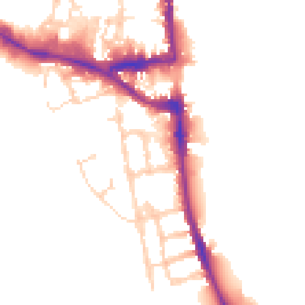
Daytime· 07:00 – 23:00
50.4dB

Night-time· 23:00 – 07:00
43.3dB