13 Buckingham Street, Oxford, OX1 4LH
About 13 Buckingham Street
13 Buckingham Street is a three-bedroom property in Oxford (OX1 4LH). It has council tax band E.
It hasn't traded since October 2008, a hold of 18 years that's notably long for the area. That sale landed at the peak of the pre-credit-crunch market, which is a useful reference point when interpreting the price. 2 planning records sit against the property, 1 approved, 0 refused. Past consents include an extension, meaningful when judging how the property has evolved. Across 2004–2008, sale prices on this property compounded at -5.4% per year.
What this property has
Inside
- Bedrooms3
- Dining roomYes
Outside
- Private gardenYes
Everything you need to know about 13 Buckingham Street
The true value, the hidden risks and the full sale history, in one report.
30-day money-back guarantee

The data behind every report


Energy performance
No EPC on record
This property doesn't have an Energy Performance Certificate yet. An EPC is required to sell or let — and unlocks our automated valuation.
Planning history
13 Buckingham Street has 2 separate extension applications on the council record.
- May 2009ExtensionFullIn report
Extension: Single storey · Side and rear of property
Erection of single storey side and rear extension.
- Documents
- 8 docs on file
- Reference
- 09/00430/FUL
- Mar 2009ExtensionOutlineIn report
Extension: Side and rear of property
Ground floor side and rear extension.
- Documents
- 2 docs on file
- Reference
- 08/02583/PDC
We flagged 2 things worth checking at 13 Buckingham Street
Independent checks surfaced things a buyer would want to understand before offering. The report explains each one in full, with the underlying data and what to ask.
- Signs of HMO activity in the area
- Larger development activity nearby
30-day money-back guarantee
Sales history & valuation
The latest sale landed at the peak of the pre-credit-crunch market — a high-water reference point.
£260,000
Growth on file: -5.4% per year over 4 years.
Sales timeline
31 October 2008Most recent
£260,000
-21.2%over 4 years1 July 2004
£330,000
Median price across the last 5 sales in OX1 4LH: £450,000 (2025–2022).
Nearby sales in OX1 4LH
Everything you need to know about 13 Buckingham Street
The true value, the hidden risks and the full sale history, in one report.
30-day money-back guarantee
The data behind every report
Similar properties nearby
The neighbourhood at a glance
Reported crime in the wider district is trending notably upward year-on-year.
Crime
6/mo
Rising year-on-year across the wider district.
Nearest stop
0.2 km
Whitehouse Road — bus stop.
Closest school
0.2 km
St Ebbe's Church of England Aided Primary School. 19 schools nearby.
Go deeper on the local area
The full report breaks down crime, transport links, schools and air quality in depth.
Road noise across the postcode
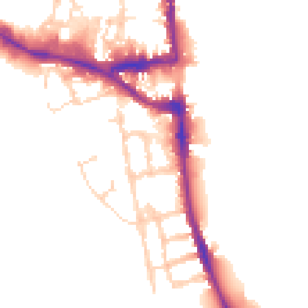
Daytime· 07:00 – 23:00
50.4dB

Night-time· 23:00 – 07:00
43.3dB