70 Rewley Road, Oxford, OX1 2RQ
About 70 Rewley Road
70 Rewley Road is a four-bedroom end-of-terrace house in Oxford (OX1 2RQ). It has a recorded floor area of 109 m² (around 1173 sq ft), construction records dating it to 1996-2002 and council tax band E. The property has solar panels on record, all of which lower running costs and tend to lift resale appeal. The latest certificate (October 2016) shows a C (score 74).
At 109 m² the property is well over the postcode median (77 m² across 42 EPCs), placing it in the larger end of the local stock. Most recent transfer: May 2023 at £875,000. Across the public record there are 4 sales, relatively high churn for a single property. One planning record on file: a loft conversion approved in 2023. Past consents include a loft conversion, meaningful when judging how the property has evolved. Across 1999–2023, sale prices on this property compounded at 5.5% per year. Today's modelled estimate of £964,000 is 10.2% above the 2023 sale price. On a £-per-square-foot basis, the last sale (£746/sq ft) was about 173.4% above the typical sold price in the postcode.
What this property has
Inside
- Bedrooms4
- Bathrooms2
- EnsuiteYes
Outside
- ParkingOff street
Building
- Solar panelsYes
- RefurbishedYes
Everything you need to know about 70 Rewley Road
The true value, the hidden risks and the full sale history, in one report.
30-day money-back guarantee

The data behind every report


Energy performance
EPC Rating
Planning history
- Nov 2023Loft ConversionOutlineIn report
Application to certify that the proposed formation of 1no. rear dormer with juliet balcony in association with a loft conversion is lawful development.
- Documents
- 6 docs on file
- Reference
- 23/02290/CPU
We flagged 1 thing worth checking at 70 Rewley Road
Independent checks surfaced things a buyer would want to understand before offering. The report explains each one in full, with the underlying data and what to ask.
- Larger development activity nearby
30-day money-back guarantee
Sales history & valuation
Latest sale on 70 Rewley Road was the highest on Land Registry record across the postcode.
£964,000
Modelled from EPC, postcode comparables and a sale-price growth of 5.5% per year over 24 years.
£875,000
Growth on file: 5.5% per year over 24 years.
Sales timeline
29 May 2023Most recent
£875,000
+16.7%over 6 years20 March 2017
£750,000
+130.1%over 13 years19 June 2003
£326,000
+35.9%over 4 years27 May 1999
£239,950
Median price across the last 5 sales in OX1 2RQ: £545,000 (2025–2024).
Versus other Rewley Road homes
70 Rewley Road outperforms the street on price per m² by a wide margin.
Price per m²
£8,028
Street avg £4,370
Floor Area
109 m²
Street avg 110 m²
Habitable Rooms
5 rooms
Street avg 5 rooms
CO₂ Emissions
3.0 t/year
Street avg 3.2 t/year
Everything you need to know about 70 Rewley Road
The true value, the hidden risks and the full sale history, in one report.
30-day money-back guarantee
The data behind every report
Similar properties nearby
The neighbourhood at a glance
Rail-style transport is unusually close for this postcode.
Crime
6/mo
Rising year-on-year across the wider district.
Nearest stop
0.3 km
Canal Street — bus stop.
Closest school
0.4 km
St Barnabas' Church of England Aided Primary School. 16 schools nearby.
Go deeper on the local area
The full report breaks down crime, transport links, schools and air quality in depth.
Road noise across the postcode
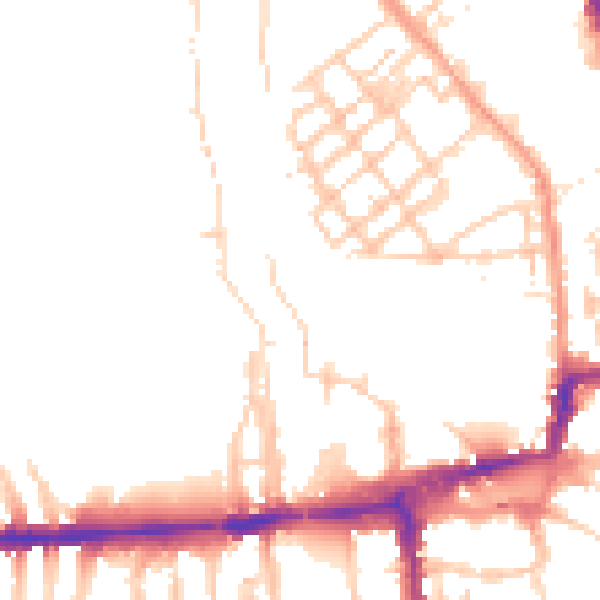
Daytime· 07:00 – 23:00
49.7dB

Night-time· 23:00 – 07:00
41.0dB