3 Great Mead, Oxford, OX1 2RB
About 3 Great Mead
3 Great Mead is a mid-terrace house in Oxford (OX1 2RB). It has a recorded floor area of 109 m² (around 1173 sq ft), construction records dating it to 1996-2002 and council tax band E. The latest certificate (November 2021) shows a C (score 76), near the top of the C band. The rating has held steady at C across 2 certificates since November 2011. Between certificates, lighting went from Good to Very Good. The recommended improvements would push it to B (score 86).
Across 1999–2014, sale prices on this property compounded at 7.1% per year. Today's modelled estimate of £709,000 is 18.2% above the 2014 sale price. On a £-per-square-foot basis, the last sale (£511/sq ft) was about 115.9% above the typical sold price in the postcode. On the market in December 2014 and unlisted since — roughly 11 years.
Everything you need to know about 3 Great Mead
The true value, the hidden risks and the full sale history, in one report.
30-day money-back guarantee

The data behind every report


Energy performance
EPC Rating
Property Improvements
Changes detected from historical EPC data
More low energy lighting installed
Planning history
3 Great Mead has no planning applications on record.
Notable planning nearby
2applications of note in the surrounding area
We flagged 1 thing worth checking at 3 Great Mead
Independent checks surfaced things a buyer would want to understand before offering. The report explains each one in full, with the underlying data and what to ask.
- Larger development activity nearby
30-day money-back guarantee
Sales history & valuation
3 Great Mead has more than doubled in price since the earliest registered sale in 1999.
£709,000
Modelled from EPC, postcode comparables and a sale-price growth of 7.1% per year over 15 years.
£600,000
Growth on file: 7.1% per year over 15 years.
Sales timeline
17 December 2014Most recent
£600,000
+63.3%over 8 years24 August 2006
£367,500
+70.9%over 6 years23 December 1999
£215,000
Median price across the last 5 sales in OX1 2RB: £460,000 (2020–2014).
Versus other Great Mead homes
EPC Rating for 3 Great Mead runs comfortably ahead of the street norm.
Price per m²
£5,505
Street avg £3,905
Floor Area
109 m²
Street avg 108 m²
Habitable Rooms
5 rooms
Street avg 5 rooms
CO₂ Emissions
2.7 t/year
Street avg 3.2 t/year
Everything you need to know about 3 Great Mead
The true value, the hidden risks and the full sale history, in one report.
30-day money-back guarantee
The data behind every report
Similar properties nearby
The neighbourhood at a glance
Rail-style transport is unusually close for this postcode.
Crime
6/mo
Rising year-on-year across the wider district.
Nearest stop
0.2 km
Railway Station — bus stop.
Closest school
0.5 km
St Barnabas' Church of England Aided Primary School. 17 schools nearby.
Go deeper on the local area
The full report breaks down crime, transport links, schools and air quality in depth.
Road noise across the postcode
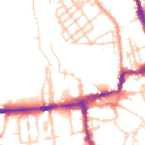
Daytime· 07:00 – 23:00
50.9dB
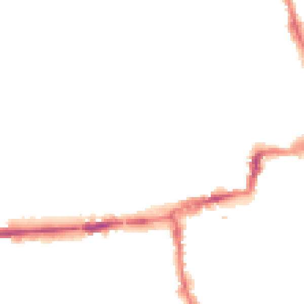
Night-time· 23:00 – 07:00
41.7dB