39 Pembroke Street, Oxford, OX1 1BP
About 39 Pembroke Street
39 Pembroke Street is a mid-terrace house in Oxford (OX1 1BP). It has a recorded floor area of 154 m² (around 1658 sq ft), construction records dating it to before 1900 and council tax band G. The latest certificate (June 2022) shows a C (score 73). The recommended improvements would push it to B (score 84).
8 planning records sit against the property, 5 approved, 0 refused. The record references listed-building consent, which constrain future alterations.
Everything you need to know about 39 Pembroke Street
The true value, the hidden risks and the full sale history, in one report.
30-day money-back guarantee

The data behind every report


Energy performance
EPC Rating
Planning history
39 Pembroke Street has multiple listed-building consents on file — alterations need formal heritage approval.
- May 2022ConditionsIn report
Details submitted in compliance with condition 4 (Further details - roofing works) of listed building consent 21/02349/LBC.
Listed- Documents
- 10 docs on file
- Reference
- 21/02349/CND6
- Mar 2022ConditionsIn report
Details submitted in compliance with condition 6c (Large scale drawn joinery and finish details of the new handrail to be installed in the staircase) of listed building consent 21/02349/LBC.
Listed- Documents
- 1 doc on file
- Reference
- 21/02349/CND5
We flagged 2 things worth checking at 39 Pembroke Street
Independent checks surfaced things a buyer would want to understand before offering. The report explains each one in full, with the underlying data and what to ask.
- Signs of HMO activity in the area
- Larger development activity nearby
30-day money-back guarantee
Sales history & valuation
39 Pembroke Street has no Land Registry sales on file, suggesting it has stayed in the same hands since registration began.
£931,000
Modelled from EPC, postcode comparables.
No sales recorded with HM Land Registry
That can mean the property has never traded since the registry began publishing in 1995, was a new build that hasn't been registered yet, or is held in the same hands long-term.
Everything you need to know about 39 Pembroke Street
The true value, the hidden risks and the full sale history, in one report.
30-day money-back guarantee
The data behind every report
Similar properties nearby
The neighbourhood at a glance
Reported crime in the wider district is trending notably upward year-on-year.
Crime
6/mo
Rising year-on-year across the wider district.
Nearest stop
0.1 km
St Aldates — bus stop.
Closest school
0.5 km
Activate Learning. 22 schools nearby.
Go deeper on the local area
The full report breaks down crime, transport links, schools and air quality in depth.
Road noise across the postcode
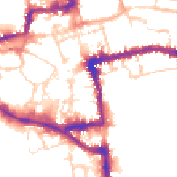
Daytime· 07:00 – 23:00
52.0dB

Night-time· 23:00 – 07:00
44.0dB