2 Bredbury Street, Chadderton, Oldham, OL9 8QW
About 2 Bredbury Street
2 Bredbury Street is a property in Chadderton, Oldham, Oldham (OL9 8QW). It has council tax band A.
It hasn't traded since May 1996, a hold of 30 years that's notably long for the area. Across 1996–1996, sale prices on this property compounded at 166.3% per year.
Everything you need to know about 2 Bredbury Street
The true value, the hidden risks and the full sale history, in one report.
Pick your report · every report is £14.99
One time fee only - money back guarantee

The data behind every report


Energy performance
No EPC on record
This property doesn't have an Energy Performance Certificate yet. An EPC is required to sell or let — and unlocks our automated valuation.
Get a survey for this property
Level 2 HomeBuyer Report
We've checked 10 risk factors against the available data for this property and believe a Level 2 HomeBuyer Report could be a suitable option for you.
Planning history
2 Bredbury Street has no planning applications on record.
But the area is active
2 notable applications nearby — larger schemes and conversions that could reshape the street. The report maps them all.
Sales history & valuation
Sale price has at least doubled since 1996.
£35,950
Growth on file: 166.3% per year over 1 year.
Sales timeline
13 May 1996Most recent
£35,950
+166.3%15 April 1996
£13,500
Median price across the last 5 sales in OL9 8QW: £124,995 (2025–2022).
Nearby sales in OL9 8QW
15 Bredbury Street, Chadderton, Oldham, OL9 8QW
Sold Jul 2025
£155,00022 Bredbury Street, Chadderton, Oldham, OL9 8QW
Sold May 2025
£120,00021 Bredbury Street, Chadderton, Oldham, OL9 8QW
Sold Jan 2023
£125,00010 Bredbury Street, Chadderton, Oldham, OL9 8QW
Sold Nov 2022
£124,9951 Bredbury Street, Chadderton, Oldham, OL9 8QW
Sold Aug 2022
£129,000
Everything you need to know about 2 Bredbury Street
The true value, the hidden risks and the full sale history, in one report.
Pick your report · every report is £14.99
One time fee only - money back guarantee
The data behind every report
Similar properties nearby
1 Abbey Grove, Chadderton
OL9 8RJ
1 Alcester Street, Chadderton
OL9 8LD
1 Argyll Road, Chadderton
OL9 8AJ
1 Ashton Crescent, Chadderton
OL9 8HE
1 Bardsley Street, Chadderton
OL9 8HG
1 Berkeley Avenue, Chadderton
OL9 8BL
1 Bernice Avenue, Chadderton
OL9 8QJ
1 Birchenlea Street, Chadderton
OL9 8HA
The neighbourhood at a glance
Rail-style transport is unusually close for this postcode.
Crime
1/mo
Steady year-on-year across the wider district.
Nearest stop
0.1 km
Freehold (Manchester Metrolink) — tram stop.
Closest school
0.2 km
Freehold Community Academy. 51 schools nearby.
Go deeper on the local area
A Local Area report breaks down crime, transport links, schools and air quality in depth.
Road noise across the postcode
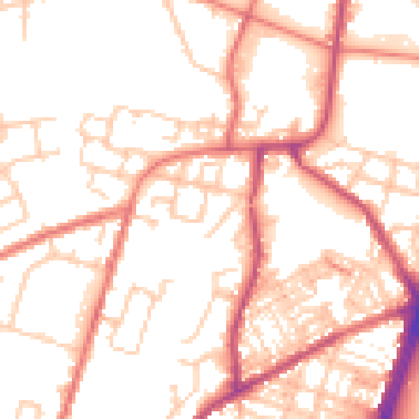
Daytime· 07:00 – 23:00
53.1dB

Night-time· 23:00 – 07:00
42.5dB