1 Hampshire Road, Chadderton, Oldham, OL9 7RX
About 1 Hampshire Road
1 Hampshire Road is a two-bedroom property in Chadderton, Oldham, Oldham (OL9 7RX). It has council tax band A. Other recorded features include outbuildings and attached land beyond the plot. Period features are noted in the property record. Our model identifies extension potential, subject to local planning policy.
Held since April 2008 — that's 18 years off the open market, well above the local norm. That sale landed at the peak of the pre-credit-crunch market, which is a useful reference point when interpreting the price. Across 2005–2008, sale prices on this property compounded at 13.5% per year.
What this property has
Inside
- Bedrooms2
Outside
- GarageYes
- OutbuildingsYes
- LandYes
Building
- Central heatingYes
- Period featuresYes
- Extension potentialPossible
Everything you need to know about 1 Hampshire Road
The true value, the hidden risks and the full sale history, in one report.
Pick your report · every report is £14.99
One time fee only - money back guarantee

The data behind every report


Energy performance
No EPC on record
This property doesn't have an Energy Performance Certificate yet. An EPC is required to sell or let — and unlocks our automated valuation.
Get a survey for this property
Level 3 Building Survey
Because the property has permanent outbuildings, we believe a Level 3 building survey should be considered.
Planning history
1 Hampshire Road has no planning applications on record.
But the area is active
7 notable applications nearby — larger schemes and conversions that could reshape the street. The report maps them all.
Sales history & valuation
The latest sale landed at the peak of the pre-credit-crunch market — a high-water reference point.
£117,000
Growth on file: 13.5% per year over 3 years.
Sales timeline
29 April 2008Most recent
£117,000
+46.3%over 3 years28 April 2005
£80,000
Median price across the last 5 sales in OL9 7RX: £133,000 (2023–2021).
Nearby sales in OL9 7RX
5 Hampshire Road, Chadderton, Oldham, OL9 7RX
Sold Mar 2023
£110,0004 Hampshire Road, Chadderton, Oldham, OL9 7RX
Sold May 2022
£160,0006 Hampshire Road, Chadderton, Oldham, OL9 7RX
Sold Apr 2022
£160,0007 Hampshire Road, Chadderton, Oldham, OL9 7RX
Sold Aug 2021
£119,0008 Hampshire Road, Chadderton, Oldham, OL9 7RX
Sold Feb 2021
£133,000
Everything you need to know about 1 Hampshire Road
The true value, the hidden risks and the full sale history, in one report.
Pick your report · every report is £14.99
One time fee only - money back guarantee
The data behind every report
Similar properties nearby
1 Abingdon Close, Chadderton
OL9 7JF
1 Huntingdon Avenue, Chadderton
OL9 7RZ
1 Berkshire Close, Chadderton
OL9 7SW
1 Attock Close
OL9 7BP
1 Hollingworth Street, Chadderton
OL9 7EY
1 Bath Street
OL9 7QX
1 Derby Court
OL9 7BW
1 Bickerton Court, Chadderton
OL9 7ET
The neighbourhood at a glance
Rail-style transport is unusually close for this postcode.
Crime
1/mo
Steady year-on-year across the wider district.
Nearest stop
0.0 km
Worcester Street — bus stop.
Closest school
0.2 km
Freehold Community Academy. 49 schools nearby.
Go deeper on the local area
A Local Area report breaks down crime, transport links, schools and air quality in depth.
Road noise across the postcode
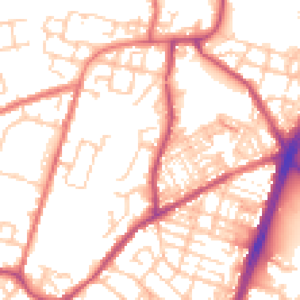
Daytime· 07:00 – 23:00
54.3dB
Night-time· 23:00 – 07:00
43.6dB