17 Briarmere Walk, Chadderton, Oldham, OL9 6SH
About 17 Briarmere Walk
17 Briarmere Walk is a semi-detached house in Chadderton, Oldham, Oldham (OL9 6SH). It has a recorded floor area of 86 m² (around 926 sq ft), construction records dating it to 1976-1982 and council tax band B. The latest certificate (June 2012) shows a D (score 65), on the cusp of jumping into the C band. The recommended improvements would lift it to B (score 85), a 2-band jump. The latest certificate is from June 2012, so improvements made since then won't be reflected.
At 86 m² it's 19.4% larger than the typical home in the postcode (72 m² median across 12 EPCs).
Everything you need to know about 17 Briarmere Walk
The true value, the hidden risks and the full sale history, in one report.
Pick your report · every report is £14.99
One time fee only - money back guarantee

The data behind every report


Energy performance
Recommended upgrades on file would lift this property by multiple EPC bands.
EPC Expired
This certificate is over 10 years old and is no longer valid.Expired 14 Jun 2022
EPC Rating
Get a survey for this property
Level 2 HomeBuyer Report
We've checked 10 risk factors against the available data for this property and believe a Level 2 HomeBuyer Report could be a suitable option for you.
From £495 · Includes VAT
Planning history
17 Briarmere Walk has no planning applications on record.
But the area is active
5 notable applications nearby — larger schemes and conversions that could reshape the street. The report maps them all.
Sales history & valuation
17 Briarmere Walk has no Land Registry sales on file, suggesting it has stayed in the same hands since registration began.
£146,000
Modelled from EPC, postcode comparables.
No sales recorded with HM Land Registry
That can mean the property has never traded since the registry began publishing in 1995, was a new build that hasn't been registered yet, or is held in the same hands long-term.
Median price across the last 5 sales in OL9 6SH: £109,000 (2024–2017).
Nearby sales in OL9 6SH
18 Briarmere Walk, Chadderton, Oldham, OL9 6SH
Sold Aug 2024
£3,5003 Briarmere Walk, Chadderton, Oldham, OL9 6SH
Sold Nov 2022
£148,15014 Briarmere Walk, Chadderton, Oldham, OL9 6SH
Sold Oct 2020
£109,0008 Briarmere Walk, Chadderton, Oldham, OL9 6SH
Sold Apr 2017
£105,00016 Briarmere Walk, Chadderton, Oldham, OL9 6SH
Sold Oct 2016
£95,000
Versus other Briarmere Walk homes
17 Briarmere Walk outperforms the street on floor area by a wide margin.
EPC Rating
65 (D)
Street avg 62 (D)
Floor Area
86 m²
Street avg 75 m²
CO₂ Emissions
3.6 t/year
Street avg 3.6 t/year
Habitable Rooms
5 rooms
Street avg 5 rooms
Everything you need to know about 17 Briarmere Walk
The true value, the hidden risks and the full sale history, in one report.
Pick your report · every report is £14.99
One time fee only - money back guarantee
The data behind every report
Similar properties nearby
1 Elverston Way, Chadderton
OL9 6SP
1 Belmont Way, Chadderton
OL9 6SE
1 Granville Walk, Chadderton
OL9 6SR
1 Belton Walk
OL9 6HP
1 Granville Close, Chadderton
OL9 6NR
1 Busk Road, Chadderton
OL9 6SF
1 Haydock Walk, Chadderton
OL9 6PG
1 Denmark Street, Chadderton
OL9 6RE
The neighbourhood at a glance
Crime
1/mo
Steady year-on-year across the wider district.
Nearest stop
0.1 km
Ward Street — bus stop.
Closest school
0.5 km
Westwood Academy. 48 schools nearby.
Go deeper on the local area
A Local Area report breaks down crime, transport links, schools and air quality in depth.
Road noise across the postcode
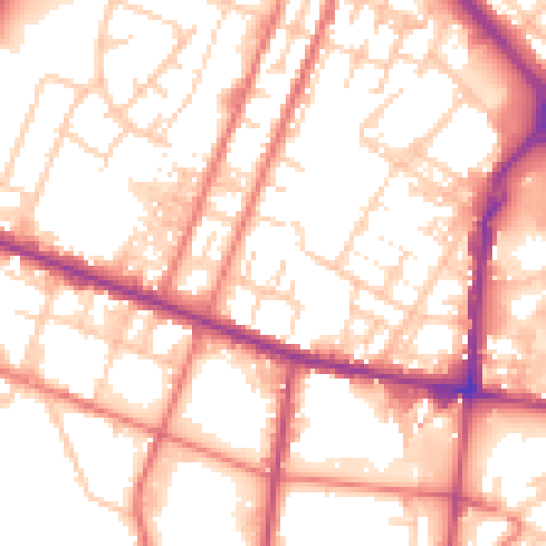
Daytime· 07:00 – 23:00
55.3dB
Night-time· 23:00 – 07:00
44.8dB