Somerton Walk, Flat 2, 71 Taunton Road, Chadderton, Oldham, OL9 0BD
About Somerton Walk
Somerton Walk is a property in Chadderton, Oldham, Oldham (OL9 0BD).
Energy performance
No EPC on record
This property doesn't have an Energy Performance Certificate yet. An EPC is required to sell or let — and unlocks our automated valuation.
Get a survey for this property
Level 2 HomeBuyer Report
We've checked 10 risk factors against the available data for this property and believe a Level 2 HomeBuyer Report could be a suitable option for you.
Planning history
No planning applications are recorded against Somerton Walk, Flat 2, 71 Taunton Road, Chadderton, Oldham, OL9 0BD. The full report also covers planning activity across the surrounding area.
Sales history & valuation
No sales recorded with HM Land Registry
That can mean the property has never traded since the registry began publishing in 1995, was a new build that hasn't been registered yet, or is held in the same hands long-term.
Median price across the last 5 sales in OL9 0BD: £177,500 (2025–2021).
Nearby sales in OL9 0BD
62 Taunton Road, Chadderton, Oldham, OL9 0BD
Sold Feb 2025
£165,00052 Taunton Road, Chadderton, Oldham, OL9 0BD
Sold May 2024
£150,00057 Taunton Road, Chadderton, Oldham, OL9 0BD
Sold Oct 2022
£235,00061 Taunton Road, Chadderton, Oldham, OL9 0BD
Sold Jul 2022
£255,00067a, Taunton Road, Chadderton, Oldham, OL9 0BD
Sold Feb 2021
£177,500
Similar properties nearby
Camborne Walk, Flat 1, 17 Parkway, Chadderton
OL9 0AN
Camborne Walk, Flat 2, 17 Parkway, Chadderton
OL9 0AN
Camborne Walk, Flat 3, 17 Parkway, Chadderton
OL9 0AN
Camborne Walk, Flat 4, 17 Parkway, Chadderton
OL9 0AN
Camborne Walk, Flat 5, 17 Parkway, Chadderton
OL9 0AN
Camborne Walk, Flat 6, 17 Parkway, Chadderton
OL9 0AN
Dunston Place, Flat 1, 73 Taunton Road, Chadderton
OL9 0BD
Dunston Place, Flat 2, 73 Taunton Road, Chadderton
OL9 0BD
The neighbourhood at a glance
Crime
1/mo
Steady year-on-year across the wider district.
Nearest stop
0.2 km
Park Avenue — bus stop.
Closest school
0.5 km
North Chadderton School. 42 schools nearby.
Road noise across the postcode
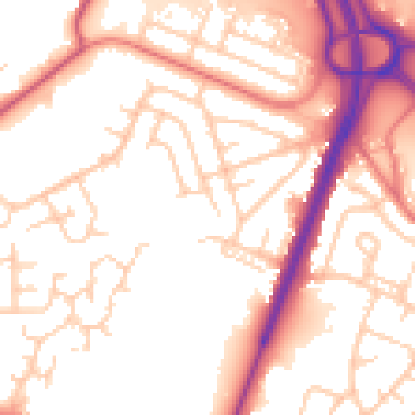
Daytime· 07:00 – 23:00
53.7dB
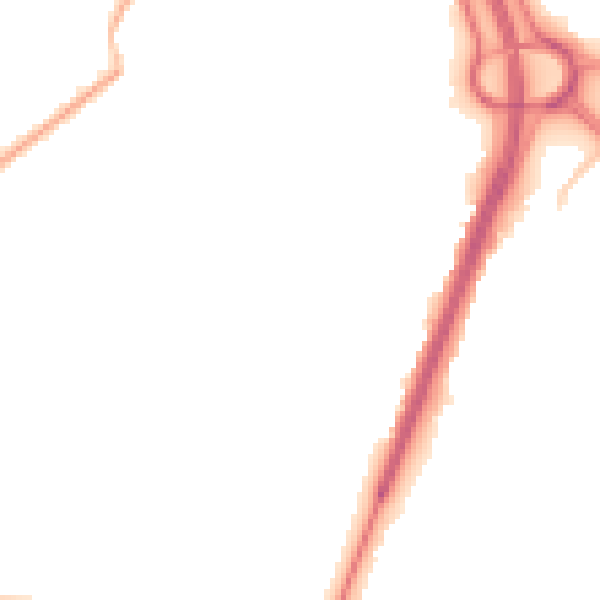
Night-time· 23:00 – 07:00
44.8dB