5 Brendon Hills, Royton, Oldham, OL2 5HW
About 5 Brendon Hills
5 Brendon Hills is a three-bedroom semi-detached house in Royton, Oldham, Oldham (OL2 5HW). It has a recorded floor area of 91 m² (around 980 sq ft), construction records dating it to 1967-1975 and council tax band C. The latest certificate (March 2021) shows a D (score 67), on the cusp of jumping into the C band. The recommended improvements would lift it to B (score 84), a 2-band jump. Our model identifies extension potential, subject to local planning policy.
Today's modelled estimate of £258,000 is 47.4% above the 2021 sale price. Most recent transfer: July 2021 at £175,000. That sale was during the post-pandemic price surge, when transactions cleared materially above pre-2020 trend.
What this property has
Inside
- Bedrooms3
- Bathrooms1
Outside
- Private gardenRear
- GarageYes
Building
- Central heatingYes
- Extension potentialPossible
Everything you need to know about 5 Brendon Hills
The true value, the hidden risks and the full sale history, in one report.
Pick your report · every report is £14.99
One time fee only - money back guarantee

The data behind every report


Energy performance
Recommended upgrades on file would lift this property by multiple EPC bands.
EPC Rating
Get a survey for this property
Level 2 HomeBuyer Report
We've checked 10 risk factors against the available data for this property and believe a Level 2 HomeBuyer Report could be a suitable option for you.
From £545 · Includes VAT
Planning history
5 Brendon Hills has no planning applications on record.
But the area is active
3 notable applications nearby — larger schemes and conversions that could reshape the street. The report maps them all.
Sales history & valuation
The latest sale landed in the post-pandemic price surge — useful context when reading the figure.
£258,000
Modelled from EPC, postcode comparables.
£175,000
Recorded with HM Land Registry.
Sales timeline
8 July 2021Most recent
£175,000
Median price across the last 5 sales in OL2 5HW: £190,000 (2023–2018).
Nearby sales in OL2 5HW
13 Brendon Hills, Royton, Oldham, OL2 5HW
Sold Dec 2023
£190,00010 Brendon Hills, Royton, Oldham, OL2 5HW
Sold Jun 2023
£290,5001 Brendon Hills, Royton, Oldham, OL2 5HW
Sold Feb 2022
£180,0006 Brendon Hills, Royton, Oldham, OL2 5HW
Sold May 2021
£250,00011 Brendon Hills, Royton, Oldham, OL2 5HW
Sold Jan 2018
£144,000
Versus other Brendon Hills homes
Price per m²
£1,923
Street avg £2,091
Floor Area
91 m²
Street avg 91 m²
Habitable Rooms
6 rooms
Street avg 5 rooms
CO₂ Emissions
3.9 t/year
Street avg 4.2 t/year
Everything you need to know about 5 Brendon Hills
The true value, the hidden risks and the full sale history, in one report.
Pick your report · every report is £14.99
One time fee only - money back guarantee
The data behind every report
Similar properties nearby
1 Beechwood Drive, Royton
OL2 5XR
1 Camberwell Way, Royton
OL2 5TL
1 Alpine Drive, Royton
OL2 5HB
1 Cecil Street, Royton
OL2 5NE
1 Baldwins Close, Royton
OL2 5FG
1 Brackenwood Close, Royton
OL2 5DE
1 Castlerigg Drive, Royton
OL2 5YJ
1 Carlton Way, Royton
OL2 5AZ
The neighbourhood at a glance
Crime
1/mo
Steady year-on-year across the wider district.
Nearest stop
0.2 km
Cambrian Drive — bus stop.
Closest school
0.2 km
St. Paul's CofE Primary School. 42 schools nearby.
Go deeper on the local area
A Local Area report breaks down crime, transport links, schools and air quality in depth.
Road noise across the postcode
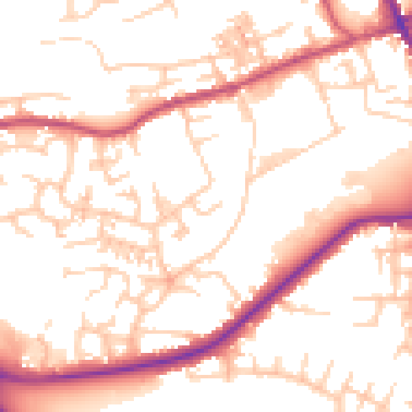
Daytime· 07:00 – 23:00
53.1dB

Night-time· 23:00 – 07:00
44.0dB