15 Abingdon Close, Rochdale, OL11 3PU
About 15 Abingdon Close
15 Abingdon Close is a mid-terrace house in Rochdale (OL11 3PU). It has a recorded floor area of 60 m² (around 646 sq ft), construction records dating it to 1900-1929 and council tax band A. The latest certificate (May 2019) shows a C (score 72). The rating has held steady at C across 2 certificates since August 2010. Between certificates, roof efficiency went from Poor to Very Good; while wall efficiency dropped from Good to Average and hot-water efficiency dropped from Very Good to Good. The recommended improvements would push it to B (score 88).
Held since November 1997 — that's 29 years off the open market, well above the local norm. Only one transfer is on record with HM Land Registry, suggesting it has stayed in the same hands for a long time. Today's modelled estimate of £123,000 sits 778.6% above the 1997 sale of £14,000. On a £-per-square-foot basis, the last sale (£22/sq ft) was about 75.7% below the postcode norm.
Everything you need to know about 15 Abingdon Close
The true value, the hidden risks and the full sale history, in one report.
30-day money-back guarantee

The data behind every report


Energy performance
EPC Rating
Property Improvements
Changes detected from historical EPC data
Heating controls changed
Hot water efficiency decreased
Loft insulation upgraded to recommended levels
Planning history
15 Abingdon Close has no planning applications on record.
Notable planning nearby
4applications of note in the surrounding area
We flagged 1 thing worth checking at 15 Abingdon Close
Independent checks surfaced things a buyer would want to understand before offering. The report explains each one in full, with the underlying data and what to ask.
- Signs of HMO activity in the area
30-day money-back guarantee
Sales history & valuation
Latest sale on 15 Abingdon Close was the lowest on Land Registry record across the postcode.
£123,000
Modelled from EPC, postcode comparables.
£14,000
Recorded with HM Land Registry.
Sales timeline
27 November 1997Most recent
£14,000
Median price across the last 5 sales in OL11 3PU: £60,000 (2024–2015).
Nearby sales in OL11 3PU
Versus other Abingdon Close homes
15 Abingdon Close is notably below the street on price per m².
Price per m²
£233
Street avg £1,119
Floor Area
60 m²
Street avg 61 m²
Habitable Rooms
3 rooms
Street avg 4 rooms
CO₂ Emissions
2.3 t/year
Street avg 2.9 t/year
Everything you need to know about 15 Abingdon Close
The true value, the hidden risks and the full sale history, in one report.
30-day money-back guarantee
The data behind every report
Similar properties nearby
The neighbourhood at a glance
Rail-style transport is unusually close for this postcode.
Crime
1/mo
Steady year-on-year across the wider district.
Nearest stop
0.1 km
Merefield Street — bus stop.
Closest school
0.2 km
Ashfield Valley Primary School. 32 schools nearby.
Go deeper on the local area
The full report breaks down crime, transport links, schools and air quality in depth.
Road noise across the postcode
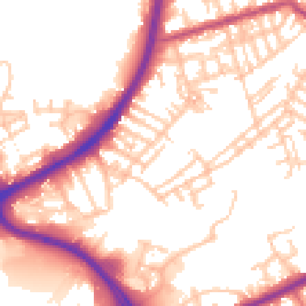
Daytime· 07:00 – 23:00
54.3dB

Night-time· 23:00 – 07:00
46.0dB