9 Cotaline Close, Rochdale, OL11 3PH
About 9 Cotaline Close
9 Cotaline Close is an end-of-terrace house in Rochdale (OL11 3PH). It has a recorded floor area of 89 m² (around 955 sq ft), construction records dating it to 1991-1995 and council tax band B. The latest certificate (June 2009) shows a D (score 59), a step below the typical UK home. The recommended improvements would push it to C (score 70). The latest certificate is from June 2009, so improvements made since then won't be reflected.
Untraded for 20 years, with the last transfer in May 2006. At 89 m² it's 19.9% larger than the typical home in the postcode (74 m² median across 7 EPCs). Today's modelled estimate of £175,000 is 40% above the 2006 sale price.
Everything you need to know about 9 Cotaline Close
The true value, the hidden risks and the full sale history, in one report.
30-day money-back guarantee

The data behind every report


Energy performance
9 Cotaline Close's EPC is over a decade old — improvements since won't be reflected.
EPC Expired
This certificate is over 10 years old and is no longer valid.Expired 02 Jun 2019
EPC Rating
Planning history
9 Cotaline Close has no planning applications on record.
Notable planning nearby
4applications of note in the surrounding area
We flagged 1 thing worth checking at 9 Cotaline Close
Independent checks surfaced things a buyer would want to understand before offering. The report explains each one in full, with the underlying data and what to ask.
- Signs of HMO activity in the area
30-day money-back guarantee
Sales history & valuation
9 Cotaline Close valuation sits well clear of the typical sold price in this postcode.
£175,000
Modelled from EPC, postcode comparables.
£125,000
Recorded with HM Land Registry.
Sales timeline
11 May 2006Most recent
£125,000
Median price across the last 5 sales in OL11 3PH: £130,000 (2021–2014).
Nearby sales in OL11 3PH
Versus other Cotaline Close homes
EPC Rating for 9 Cotaline Close lags the street by a wide margin.
Price per m²
£1,409
Street avg £1,576
Floor Area
89 m²
Street avg 80 m²
Habitable Rooms
4 rooms
Street avg 5 rooms
CO₂ Emissions
4.3 t/year
Street avg 3.3 t/year
Everything you need to know about 9 Cotaline Close
The true value, the hidden risks and the full sale history, in one report.
30-day money-back guarantee
The data behind every report
Similar properties nearby
The neighbourhood at a glance
Rail-style transport is unusually close for this postcode.
Crime
1/mo
Steady year-on-year across the wider district.
Nearest stop
0.1 km
Ivor Street — bus stop.
Closest school
0.5 km
Matthew Moss High School. 30 schools nearby.
Go deeper on the local area
The full report breaks down crime, transport links, schools and air quality in depth.
Road noise across the postcode
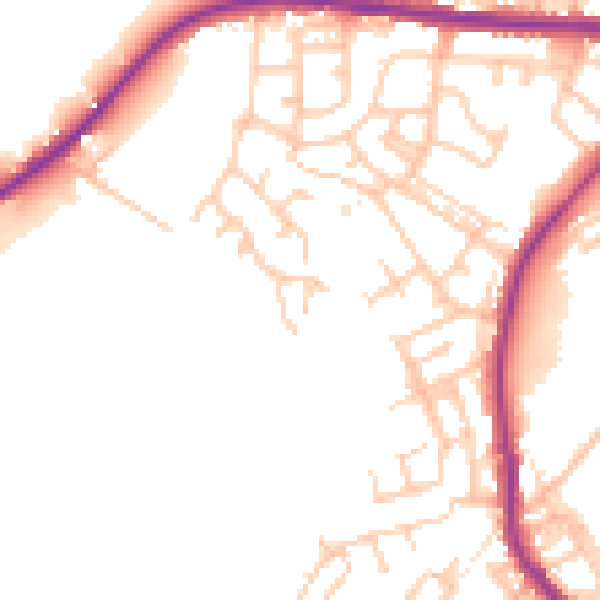
Daytime· 07:00 – 23:00
51.5dB

Night-time· 23:00 – 07:00
44.0dB