6 Beaconsfield Road, Rochdale, OL11 2WE
About 6 Beaconsfield Road
6 Beaconsfield Road is a semi-detached house in Rochdale (OL11 2WE). It has a recorded floor area of 76 m² (around 818 sq ft). The latest certificate (June 2019) returns a B (score 83), comfortably above the UK average. The recommended improvements would push it to A (score 95).
Today's modelled estimate of £204,000 sits 64.5% above the 2019 sale of £123,995. On a £-per-square-foot basis, the last sale (£152/sq ft) was about 16.2% below the postcode norm. Last sale on file: £123,995 in June 2019.
Everything you need to know about 6 Beaconsfield Road
The true value, the hidden risks and the full sale history, in one report.
30-day money-back guarantee

The data behind every report


Energy performance
6 Beaconsfield Road's carbon output is low for the local stock.
EPC Rating
Planning history
6 Beaconsfield Road has no planning applications on record.
Notable planning nearby
4applications of note in the surrounding area
We flagged 1 thing worth checking at 6 Beaconsfield Road
Independent checks surfaced things a buyer would want to understand before offering. The report explains each one in full, with the underlying data and what to ask.
- Signs of HMO activity in the area
30-day money-back guarantee
Sales history & valuation
6 Beaconsfield Road valuation sits well clear of the typical sold price in this postcode.
£204,000
Modelled from EPC, postcode comparables.
£123,995
Recorded with HM Land Registry.
Sales timeline
27 June 2019Most recent
£123,995
Median price across the last 5 sales in OL11 2WE: £210,000 (2025–2025).
Nearby sales in OL11 2WE
46 Beaconsfield Road, Rochdale, OL11 2WE
Sold Jun 2025
£200,00022 Beaconsfield Road, Rochdale, OL11 2WE
Sold May 2025
£195,00060 Beaconsfield Road, Rochdale, OL11 2WE
Sold Mar 2025
£210,00069 Beaconsfield Road, Rochdale, OL11 2WE
Sold Mar 2025
£216,00020 Beaconsfield Road, Rochdale, OL11 2WE
Sold Jan 2025
£225,000
Versus other Beaconsfield Road homes
6 Beaconsfield Road is notably below the street on price per m².
Price per m²
£1,632
Street avg £2,139
Floor Area
76 m²
Street avg 72 m²
CO₂ Emissions
1.4 t/year
Street avg 1.3 t/year
Years Held
7 years
Street avg 5 years
Everything you need to know about 6 Beaconsfield Road
The true value, the hidden risks and the full sale history, in one report.
30-day money-back guarantee
The data behind every report
Similar properties nearby
The neighbourhood at a glance
Crime
1/mo
Steady year-on-year across the wider district.
Nearest stop
0.2 km
Queen Victoria Street — bus stop.
Closest school
0.3 km
St Mary's Church of England Primary School, Balderstone. 26 schools nearby.
Go deeper on the local area
The full report breaks down crime, transport links, schools and air quality in depth.
Road noise across the postcode
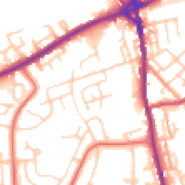
Daytime· 07:00 – 23:00
54.0dB

Night-time· 23:00 – 07:00
45.8dB