119 Platting Lane, Rochdale, OL11 2JT
About 119 Platting Lane
119 Platting Lane is a mid-terrace house in Rochdale (OL11 2JT). It has a recorded floor area of 56 m² (around 603 sq ft), construction records dating it to before 1900 and council tax band A. The latest certificate (June 2025) shows a D (score 65), on the cusp of jumping into the C band. The recommended improvements would push it to C (score 75).
At 56 m² the property is well over the postcode median (43 m² across 51 EPCs), placing it in the larger end of the local stock. It lags the bulk of the postcode on energy efficiency (less efficient than 73% of similar EPCs). Across 2014–2024, sale prices on this property compounded at 10.9% per year. Today's modelled estimate of £123,000 sits 53.8% above the 2024 sale of £80,000. On a £-per-square-foot basis, the last sale (£133/sq ft) was about 60.5% above the typical sold price in the postcode. Last sale on file: £80,000 in October 2024.
Everything you need to know about 119 Platting Lane
The true value, the hidden risks and the full sale history, in one report.
30-day money-back guarantee

The data behind every report


Energy performance
EPC Rating
Planning history
119 Platting Lane has no planning applications on record.
Notable planning nearby
4applications of note in the surrounding area
We flagged 1 thing worth checking at 119 Platting Lane
Independent checks surfaced things a buyer would want to understand before offering. The report explains each one in full, with the underlying data and what to ask.
- Signs of HMO activity in the area
30-day money-back guarantee
Sales history & valuation
119 Platting Lane has more than doubled in price since the earliest registered sale in 2014.
£123,000
Modelled from EPC, postcode comparables and a sale-price growth of 10.9% per year over 10 years.
£80,000
Growth on file: 10.9% per year over 10 years.
Sales timeline
9 October 2024Most recent
£80,000
+185.7%over 10 years20 August 2014
£28,000
Median price across the last 5 sales in OL11 2JT: £73,500 (2022–2018).
Nearby sales in OL11 2JT
Versus other Platting Lane homes
Years Held for 119 Platting Lane lags the street by a wide margin.
Price per m²
£1,429
Street avg £981
Floor Area
56 m²
Street avg 60 m²
Habitable Rooms
3 rooms
Street avg 4 rooms
CO₂ Emissions
2.3 t/year
Street avg 2.8 t/year
Everything you need to know about 119 Platting Lane
The true value, the hidden risks and the full sale history, in one report.
30-day money-back guarantee
The data behind every report
Similar properties nearby
The neighbourhood at a glance
Crime
1/mo
Steady year-on-year across the wider district.
Nearest stop
0.1 km
Charlotte Street — bus stop.
Closest school
0.1 km
St Mary's Church of England Primary School, Balderstone. 31 schools nearby.
Go deeper on the local area
The full report breaks down crime, transport links, schools and air quality in depth.
Road noise across the postcode
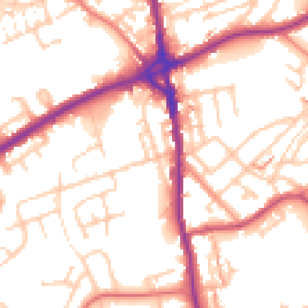
Daytime· 07:00 – 23:00
54.3dB

Night-time· 23:00 – 07:00
45.8dB