39 Constable Drive, Rochdale, OL11 2AS
About 39 Constable Drive
39 Constable Drive is a three-bedroom detached house in Rochdale (OL11 2AS). It has a recorded floor area of 72 m² (around 775 sq ft) and construction records dating it to 2021. The latest certificate (May 2021) returns a B (score 83), comfortably above the UK average. The recommended improvements would push it to A (score 95).
Today's modelled estimate of £237,000 is 36.2% above the 2021 sale price. On a £-per-square-foot basis, the last sale (£225/sq ft) was about 25% above the typical sold price in the postcode. Last sale on file: £173,995 in May 2021. That sale was during the post-pandemic price surge, when transactions cleared materially above pre-2020 trend.
What this property has
Inside
- Bedrooms3
- Bathrooms2
Outside
- Private gardenYes
- GarageYes
Building
- RefurbishedYes
Everything you need to know about 39 Constable Drive
The true value, the hidden risks and the full sale history, in one report.
30-day money-back guarantee

The data behind every report


Energy performance
39 Constable Drive's carbon output is low for the local stock.
EPC Rating
Planning history
39 Constable Drive has no planning applications on record.
Notable planning nearby
4applications of note in the surrounding area
We flagged 1 thing worth checking at 39 Constable Drive
Independent checks surfaced things a buyer would want to understand before offering. The report explains each one in full, with the underlying data and what to ask.
- Signs of HMO activity in the area
30-day money-back guarantee
Sales history & valuation
The latest sale landed in the post-pandemic price surge — useful context when reading the figure.
£237,000
Modelled from EPC, postcode comparables.
£173,995
Recorded with HM Land Registry.
Sales timeline
27 May 2021Most recent
£173,995
Median price across the last 5 sales in OL11 2AS: £175,000 (2025–2024).
Nearby sales in OL11 2AS
Versus other Constable Drive homes
Price per m² for 39 Constable Drive runs comfortably ahead of the street norm.
Price per m²
£2,417
Street avg £2,071
Floor Area
72 m²
Street avg 76 m²
CO₂ Emissions
1.3 t/year
Street avg 1.3 t/year
Years Held
5 years
Street avg 5 years
Everything you need to know about 39 Constable Drive
The true value, the hidden risks and the full sale history, in one report.
30-day money-back guarantee
The data behind every report
Similar properties nearby
1 Bowden Close
OL11 2XT
1 Bates Close
OL11 2TU
1 Conrad Cole Road
OL11 2BG
1 Cumberland Road
OL11 2RP
1 Darlington Road
OL11 2LL
1 Buersil Head Barn, Thornham New Road
OL11 2BA
1 Cross Street
OL11 2PJ
1 Bridge Street, Castleton
OL11 2LX
The neighbourhood at a glance
Crime
1/mo
Steady year-on-year across the wider district.
Nearest stop
0.1 km
Friars Crescent — bus stop.
Closest school
0.4 km
Holy Family Roman Catholic Primary School, a Voluntary Academy. 23 schools nearby.
Go deeper on the local area
The full report breaks down crime, transport links, schools and air quality in depth.
Road noise across the postcode
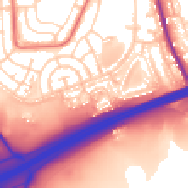
Daytime· 07:00 – 23:00
59.7dB

Night-time· 23:00 – 07:00
52.5dB