8 Dean Court, Rochdale, OL11 1TX
About 8 Dean Court
8 Dean Court is a semi-detached house in Rochdale (OL11 1TX). It has a recorded floor area of 70 m² (around 753 sq ft), construction records dating it to 1950-1966 and council tax band B. The latest certificate (September 2022) shows a C (score 71). The rating has held steady at C across 2 certificates since July 2012. Between certificates, lighting went from Very Poor to Very Good; while wall efficiency dropped from Good to Average. The recommended improvements would push it to B (score 86).
Its energy rating outperforms most of the postcode (better than 83% of similar EPCs). Today's modelled estimate of £188,000 is 44.6% above the 2012 sale price. On a £-per-square-foot basis, the last sale (£173/sq ft) was about 63.9% above the typical sold price in the postcode. Last sold in October 2012, so it's been off the market for around 14 years.
Everything you need to know about 8 Dean Court
The true value, the hidden risks and the full sale history, in one report.
30-day money-back guarantee

The data behind every report


Energy performance
EPC Rating
Property Improvements
Changes detected from historical EPC data
More low energy lighting installed
Planning history
8 Dean Court has no planning applications on record.
Notable planning nearby
5applications of note in the surrounding area
We flagged 2 things worth checking at 8 Dean Court
Independent checks surfaced things a buyer would want to understand before offering. The report explains each one in full, with the underlying data and what to ask.
- Signs of HMO activity in the area
- Larger development activity nearby
30-day money-back guarantee
Sales history & valuation
8 Dean Court valuation sits well clear of the typical sold price in this postcode.
£188,000
Modelled from EPC, postcode comparables.
£130,000
Recorded with HM Land Registry.
Sales timeline
25 October 2012Most recent
£130,000
Median price across the last 5 sales in OL11 1TX: £137,500 (2024–2014).
Versus other Dean Court homes
EPC Rating for 8 Dean Court runs comfortably ahead of the street norm.
Price per m²
£1,857
Street avg £1,284
Floor Area
70 m²
Street avg 87 m²
Habitable Rooms
5 rooms
Street avg 5 rooms
CO₂ Emissions
2.7 t/year
Street avg 3.9 t/year
Everything you need to know about 8 Dean Court
The true value, the hidden risks and the full sale history, in one report.
30-day money-back guarantee
The data behind every report
Similar properties nearby
The neighbourhood at a glance
Crime
1/mo
Steady year-on-year across the wider district.
Nearest stop
0.1 km
Dicken Green Lane — bus stop.
Closest school
0.3 km
Sandbrook Community Primary School. 31 schools nearby.
Go deeper on the local area
The full report breaks down crime, transport links, schools and air quality in depth.
Road noise across the postcode
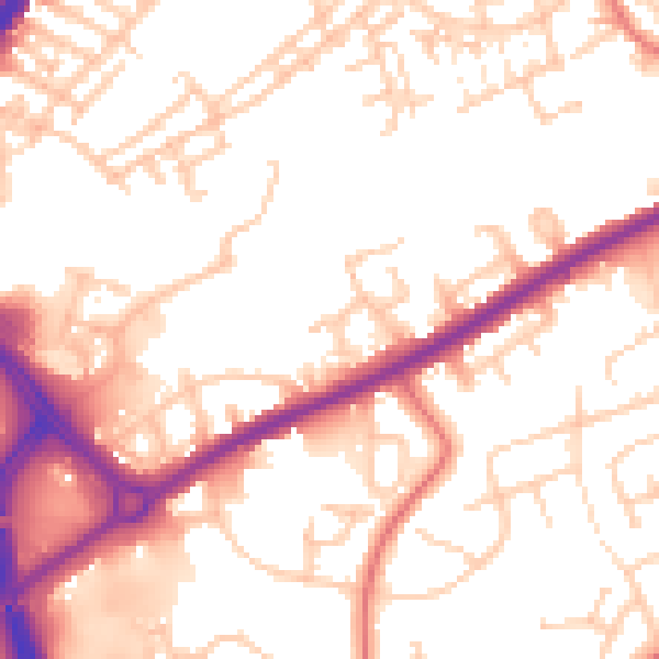
Daytime· 07:00 – 23:00
53.9dB

Night-time· 23:00 – 07:00
45.3dB