12 Equitable Street, Rochdale, OL11 1JQ
About 12 Equitable Street
12 Equitable Street is a mid-terrace house in Rochdale (OL11 1JQ). It has a recorded floor area of 98 m² (around 1055 sq ft), construction records dating it to before 1900 and council tax band A. The latest certificate (March 2018) shows a C (score 69), just inside the C band. The recommended improvements would push it to B (score 86).
At 98 m² the property is well over the postcode median (73 m² across 22 EPCs), placing it in the larger end of the local stock. Its energy rating outperforms most of the postcode (better than 82% of similar EPCs). Today's modelled estimate of £150,000 is 40.2% above the 2018 sale price. On a £-per-square-foot basis, the last sale (£101/sq ft) was about 124.3% above the typical sold price in the postcode. Last sold in May 2018, so it's been off the market for around 8 years.
Everything you need to know about 12 Equitable Street
The true value, the hidden risks and the full sale history, in one report.
30-day money-back guarantee

The data behind every report


Energy performance
EPC Rating
Planning history
12 Equitable Street has no planning applications on record.
Notable planning nearby
5applications of note in the surrounding area
We flagged 2 things worth checking at 12 Equitable Street
Independent checks surfaced things a buyer would want to understand before offering. The report explains each one in full, with the underlying data and what to ask.
- Signs of HMO activity in the area
- Larger development activity nearby
30-day money-back guarantee
Sales history & valuation
12 Equitable Street valuation sits well clear of the typical sold price in this postcode.
£150,000
Modelled from EPC, postcode comparables.
£107,000
Recorded with HM Land Registry.
Sales timeline
10 May 2018Most recent
£107,000
Median price across the last 5 sales in OL11 1JQ: £78,000 (2020–2012).
Nearby sales in OL11 1JQ
Versus other Equitable Street homes
Years Held for 12 Equitable Street lags the street by a wide margin.
Price per m²
£1,092
Street avg £769
Floor Area
98 m²
Street avg 78 m²
Habitable Rooms
5 rooms
Street avg 4 rooms
CO₂ Emissions
3.9 t/year
Street avg 4.7 t/year
Everything you need to know about 12 Equitable Street
The true value, the hidden risks and the full sale history, in one report.
30-day money-back guarantee
The data behind every report
Similar properties nearby
The neighbourhood at a glance
Rail-style transport is unusually close for this postcode.
Crime
1/mo
Steady year-on-year across the wider district.
Nearest stop
0.2 km
Rochdale Rail Station — railway station.
Closest school
0.2 km
Deeplish Primary Academy. 35 schools nearby.
Go deeper on the local area
The full report breaks down crime, transport links, schools and air quality in depth.
Road noise across the postcode
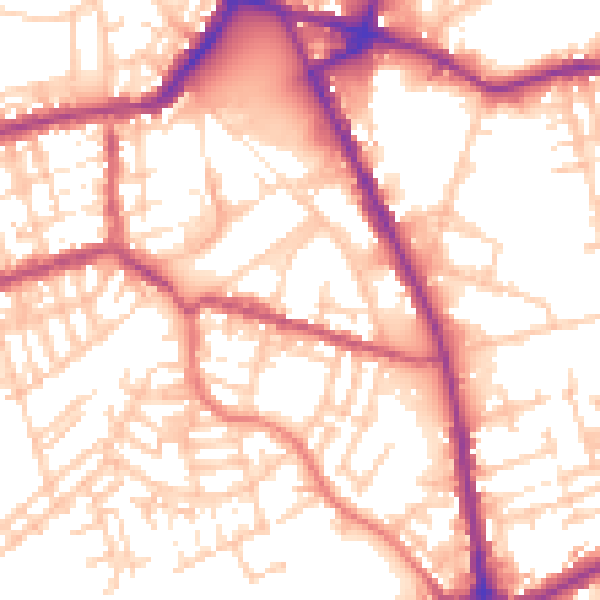
Daytime· 07:00 – 23:00
55.6dB

Night-time· 23:00 – 07:00
45.3dB