18 Mere Street, Rochdale, OL11 1HJ
About 18 Mere Street
18 Mere Street is a mid-terrace house in Rochdale (OL11 1HJ). It has a recorded floor area of 104 m² (around 1119 sq ft), construction records dating it to 1900-1929 and council tax band B. The latest certificate (May 2013) shows a C (score 70). The rating has held steady at C across 2 certificates since April 2010. Between certificates, roof efficiency dropped from Very Good to Good. The recommended improvements would push it to B (score 85). The latest certificate is from May 2013, so improvements made since then won't be reflected.
Held since June 2010 — that's 16 years off the open market, well above the local norm. Today's modelled estimate of £189,000 is 21.9% above the 2010 sale price. On a £-per-square-foot basis, the last sale (£138/sq ft) was about 96.5% above the typical sold price in the postcode.
Everything you need to know about 18 Mere Street
The true value, the hidden risks and the full sale history, in one report.
30-day money-back guarantee

The data behind every report


Energy performance
18 Mere Street's EPC is over a decade old — improvements since won't be reflected.
EPC Expired
This certificate is over 10 years old and is no longer valid.Expired 16 May 2023
EPC Rating
Planning history
18 Mere Street has no planning applications on record.
Notable planning nearby
5applications of note in the surrounding area
We flagged 2 things worth checking at 18 Mere Street
Independent checks surfaced things a buyer would want to understand before offering. The report explains each one in full, with the underlying data and what to ask.
- Signs of HMO activity in the area
- Larger development activity nearby
30-day money-back guarantee
Sales history & valuation
18 Mere Street valuation sits well clear of the typical sold price in this postcode.
£189,000
Modelled from EPC, postcode comparables.
£155,000
Recorded with HM Land Registry.
Sales timeline
27 June 2010Most recent
£155,000
Median price across the last 5 sales in OL11 1HJ: £125,000 (2024–2013).
Versus other Mere Street homes
On price per m², 18 Mere Street stands well clear of the street.
Price per m²
£1,490
Street avg £964
Floor Area
104 m²
Street avg 102 m²
Habitable Rooms
5 rooms
Street avg 5 rooms
CO₂ Emissions
3.5 t/year
Street avg 5.2 t/year
Everything you need to know about 18 Mere Street
The true value, the hidden risks and the full sale history, in one report.
30-day money-back guarantee
The data behind every report
Similar properties nearby
The neighbourhood at a glance
Rail-style transport is unusually close for this postcode.
Crime
1/mo
Steady year-on-year across the wider district.
Nearest stop
0.1 km
Castlemere Street — bus stop.
Closest school
0.2 km
St John's Roman Catholic Primary School, a Voluntary Academy. 36 schools nearby.
Go deeper on the local area
The full report breaks down crime, transport links, schools and air quality in depth.
Road noise across the postcode
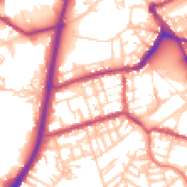
Daytime· 07:00 – 23:00
56.3dB

Night-time· 23:00 – 07:00
46.9dB