10 Mere Street, Rochdale, OL11 1HJ
About 10 Mere Street
10 Mere Street is a mid-terrace house in Rochdale (OL11 1HJ). It has a recorded floor area of 140 m² (around 1507 sq ft), construction records dating it to 1900-1929 and council tax band B. The latest certificate (May 2019) shows a D (score 60), on the cusp of jumping into the C band. The recommended improvements would push it to C (score 79).
At 140 m² the property is well over the postcode median (102 m² across 20 EPCs), placing it in the larger end of the local stock. One planning record on file: an extension approved in 2025. Past consents include an extension, meaningful when judging how the property has evolved.
Everything you need to know about 10 Mere Street
The true value, the hidden risks and the full sale history, in one report.
30-day money-back guarantee

The data behind every report


Energy performance
10 Mere Street's carbon output runs well above what efficient homes in the postcode produce.
EPC Rating
Planning history
10 Mere Street has an approved single-storey rear extension on the planning record.
- Dec 2025ExtensionFullIn report
Extension: Single storey · Rear of property
Single storey rear extension
- Agent
- Building Design Services
- Documents
- 3 docs on file
- Reference
- 25/00925/HOUS
We flagged 2 things worth checking at 10 Mere Street
Independent checks surfaced things a buyer would want to understand before offering. The report explains each one in full, with the underlying data and what to ask.
- Signs of HMO activity in the area
- Larger development activity nearby
30-day money-back guarantee
Sales history & valuation
10 Mere Street has no Land Registry sales on file, suggesting it has stayed in the same hands since registration began.
£191,000
Modelled from EPC, postcode comparables.
No sales recorded with HM Land Registry
That can mean the property has never traded since the registry began publishing in 1995, was a new build that hasn't been registered yet, or is held in the same hands long-term.
Median price across the last 5 sales in OL11 1HJ: £125,000 (2024–2013).
Versus other Mere Street homes
Habitable Rooms for 10 Mere Street runs comfortably ahead of the street norm.
EPC Rating
60 (D)
Street avg 60 (D)
Floor Area
140 m²
Street avg 100 m²
CO₂ Emissions
7.0 t/year
Street avg 5.0 t/year
Habitable Rooms
7 rooms
Street avg 5 rooms
Everything you need to know about 10 Mere Street
The true value, the hidden risks and the full sale history, in one report.
30-day money-back guarantee
The data behind every report
Similar properties nearby
The neighbourhood at a glance
Rail-style transport is unusually close for this postcode.
Crime
1/mo
Steady year-on-year across the wider district.
Nearest stop
0.1 km
Castlemere Street — bus stop.
Closest school
0.2 km
St John's Roman Catholic Primary School, a Voluntary Academy. 36 schools nearby.
Go deeper on the local area
The full report breaks down crime, transport links, schools and air quality in depth.
Road noise across the postcode
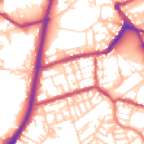
Daytime· 07:00 – 23:00
56.3dB

Night-time· 23:00 – 07:00
46.9dB