28 Essex Street, Rochdale, OL11 1EJ
About 28 Essex Street
28 Essex Street is a mid-terrace house in Rochdale (OL11 1EJ). It has a recorded floor area of 68 m² (around 732 sq ft), construction records dating it to 1900-1929 and council tax band A. The latest certificate (October 2016) shows a D (score 56), a step below the typical UK home. The recommended improvements would push it to C (score 77).
Untraded for 19 years, with the last transfer in August 2007. That sale landed at the peak of the pre-credit-crunch market, which is a useful reference point when interpreting the price. Across 2005–2007, sale prices on this property compounded at 11.9% per year. Today's modelled estimate of £115,000 is 43.8% above the 2007 sale price. On a £-per-square-foot basis, the last sale (£109/sq ft) was about 48.2% above the typical sold price in the postcode. One historical planning record sits against the property in 2017.
Everything you need to know about 28 Essex Street
The true value, the hidden risks and the full sale history, in one report.
30-day money-back guarantee

The data behind every report


Energy performance
EPC Rating
Planning history
- Feb 2017RenovationFullIn report
Application of external insulated textured render to all elevations of 2-30 Essex Street
- Reference
- 17/00200/FUL
We flagged 2 things worth checking at 28 Essex Street
Independent checks surfaced things a buyer would want to understand before offering. The report explains each one in full, with the underlying data and what to ask.
- Signs of HMO activity in the area
- Larger development activity nearby
30-day money-back guarantee
Sales history & valuation
The latest sale landed at the peak of the pre-credit-crunch market — a high-water reference point.
£115,000
Modelled from EPC, postcode comparables and a sale-price growth of 11.9% per year over 3 years.
£80,000
Growth on file: 11.9% per year over 3 years.
Sales timeline
8 August 2007Most recent
£80,000
+33.3%over 2 years17 January 2005
£60,000
Median price across the last 5 sales in OL11 1EJ: £78,500 (2023–2018).
Nearby sales in OL11 1EJ
Versus other Essex Street homes
28 Essex Street outperforms the street on price per m² by a wide margin.
Price per m²
£1,176
Street avg £974
Floor Area
68 m²
Street avg 64 m²
Habitable Rooms
3 rooms
Street avg 4 rooms
CO₂ Emissions
4.5 t/year
Street avg 4.1 t/year
Everything you need to know about 28 Essex Street
The true value, the hidden risks and the full sale history, in one report.
30-day money-back guarantee
The data behind every report
Similar properties nearby
The neighbourhood at a glance
Rail-style transport is unusually close for this postcode.
Crime
1/mo
Steady year-on-year across the wider district.
Nearest stop
0.1 km
Milkstone Road — bus stop.
Closest school
0.1 km
St John's Roman Catholic Primary School, a Voluntary Academy. 36 schools nearby.
Go deeper on the local area
The full report breaks down crime, transport links, schools and air quality in depth.
Road noise across the postcode
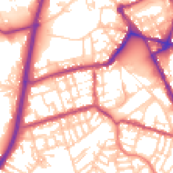
Daytime· 07:00 – 23:00
57.2dB

Night-time· 23:00 – 07:00
47.4dB