17 Well I Th Lane, Rochdale, OL11 1AU
About 17 Well I Th Lane
17 Well I Th Lane is an end-of-terrace house in Rochdale (OL11 1AU). It has a recorded floor area of 65 m² (around 700 sq ft), construction records dating it to before 1900 and council tax band A. The latest certificate (April 2023) shows a D (score 62), on the cusp of jumping into the C band. The recommended improvements would lift it to B (score 87), a 2-band jump.
Held since September 2008 — that's 18 years off the open market, well above the local norm. That sale landed at the peak of the pre-credit-crunch market, which is a useful reference point when interpreting the price. Across 2001–2008, sale prices on this property compounded at 19.6% per year. Today's modelled estimate of £110,000 is 46.7% above the 2008 sale price.
Everything you need to know about 17 Well I Th Lane
The true value, the hidden risks and the full sale history, in one report.
30-day money-back guarantee

The data behind every report


Energy performance
Recommended upgrades on file would lift this property by multiple EPC bands.
EPC Rating
Planning history
17 Well I Th Lane has no planning applications on record.
Notable planning nearby
5applications of note in the surrounding area
We flagged 2 things worth checking at 17 Well I Th Lane
Independent checks surfaced things a buyer would want to understand before offering. The report explains each one in full, with the underlying data and what to ask.
- Signs of HMO activity in the area
- Larger development activity nearby
30-day money-back guarantee
Sales history & valuation
17 Well I Th Lane has more than tripled in price since its earliest registered sale in 2001.
£110,000
Modelled from EPC, postcode comparables and a sale-price growth of 19.6% per year over 7 years.
£75,000
Growth on file: 19.6% per year over 7 years.
Sales timeline
8 September 2008Most recent
£75,000
+275.0%over 7 years26 April 2001
£20,000
Median price across the last 5 sales in OL11 1AU: £82,000 (2023–2006).
Versus other Well I Th Lane homes
Years Held for 17 Well I Th Lane runs comfortably ahead of the street norm.
Price per m²
£1,154
Street avg £1,177
Floor Area
65 m²
Street avg 67 m²
Habitable Rooms
5 rooms
Street avg 5 rooms
CO₂ Emissions
3.7 t/year
Street avg 3.4 t/year
Everything you need to know about 17 Well I Th Lane
The true value, the hidden risks and the full sale history, in one report.
30-day money-back guarantee
The data behind every report
Similar properties nearby
The neighbourhood at a glance
Rail-style transport is unusually close for this postcode.
Crime
1/mo
Steady year-on-year across the wider district.
Nearest stop
0.0 km
Clifton Street — bus stop.
Closest school
0.3 km
Lowerplace Primary School. 33 schools nearby.
Go deeper on the local area
The full report breaks down crime, transport links, schools and air quality in depth.
Road noise across the postcode
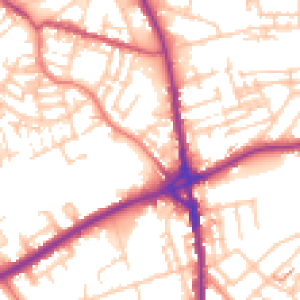
Daytime· 07:00 – 23:00
54.6dB

Night-time· 23:00 – 07:00
44.9dB