146 Oldham Road, Rochdale, OL11 1AF
About 146 Oldham Road
146 Oldham Road is an end-of-terrace house in Rochdale (OL11 1AF). It has a recorded floor area of 55 m² (around 592 sq ft), construction records dating it to 1900-1929 and council tax band A. The latest certificate (July 2013) shows a D (score 55), a step below the typical UK home. The recommended improvements would lift it to A (score 92), a 3-band jump. The latest certificate is from July 2013, so improvements made since then won't be reflected.
Held since August 2006 — that's 20 years off the open market, well above the local norm. Today's modelled estimate of £108,000 sits 332% above the 2006 sale of £25,000. On a £-per-square-foot basis, the last sale (£42/sq ft) was about 47.4% below the postcode norm. One historical planning record sits against the property in 2014.
Everything you need to know about 146 Oldham Road
The true value, the hidden risks and the full sale history, in one report.
30-day money-back guarantee

The data behind every report


Energy performance
Recommended upgrades on file would lift this property by multiple EPC bands.
EPC Expired
This certificate is over 10 years old and is no longer valid.Expired 08 Jul 2023
EPC Rating
Planning history
- Jan 2014RenovationFullIn report
Provide insulated render finish to external elevations of 146 to 158 Oldham Road
- Documents
- 11 docs on file
- Reference
- 13/00965/FUL
We flagged 2 things worth checking at 146 Oldham Road
Independent checks surfaced things a buyer would want to understand before offering. The report explains each one in full, with the underlying data and what to ask.
- Signs of HMO activity in the area
- Larger development activity nearby
30-day money-back guarantee
Sales history & valuation
146 Oldham Road's modelled value sits at over four times its earliest registered sale price (2006).
£108,000
Modelled from EPC, postcode comparables.
£25,000
Recorded with HM Land Registry.
Sales timeline
30 August 2006Most recent
£25,000
Median price across the last 5 sales in OL11 1AF: £55,000 (2016–2010).
Versus other Oldham Road homes
EPC Rating for 146 Oldham Road lags the street by a wide margin.
Price per m²
£455
Street avg £913
Floor Area
55 m²
Street avg 55 m²
Habitable Rooms
3 rooms
Street avg 3 rooms
CO₂ Emissions
3.5 t/year
Street avg 2.8 t/year
Everything you need to know about 146 Oldham Road
The true value, the hidden risks and the full sale history, in one report.
30-day money-back guarantee
The data behind every report
Similar properties nearby
The neighbourhood at a glance
Rail-style transport is unusually close for this postcode.
Crime
1/mo
Steady year-on-year across the wider district.
Nearest stop
0.0 km
Prince Street — bus stop.
Closest school
0.2 km
Lowerplace Primary School. 35 schools nearby.
Go deeper on the local area
The full report breaks down crime, transport links, schools and air quality in depth.
Road noise across the postcode
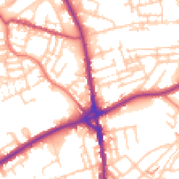
Daytime· 07:00 – 23:00
54.7dB

Night-time· 23:00 – 07:00
44.9dB