12 Chichester Road, Brent, London, NW6 5QN
About 12 Chichester Road
12 Chichester Road is a mid-terrace house in Brent, London, London (NW6 5QN). It has a recorded floor area of 139 m² (around 1496 sq ft), construction records dating it to before 1900 and council tax band E. The latest certificate (November 2012) shows an F (score 30), near the bottom of the EPC scale. The recommended improvements would lift it to C (score 80), a 3-band jump. The latest certificate is from November 2012, so improvements made since then won't be reflected.
At 139 m² the property is well over the postcode median (91 m² across 12 EPCs), placing it in the larger end of the local stock. On energy efficiency it sits in the bottom 10% of properties in this postcode — significant headroom for improvement. 2 planning records sit against the property, 2 approved, 0 refused. Past consents include tree works, an extension and new windows, meaningful when judging how the property has evolved. Today's modelled estimate of £929,000 is 49.8% above the 2013 sale price. On a £-per-square-foot basis, the last sale (£414/sq ft) was about 39.3% above the typical sold price in the postcode. 13 years since the last transfer (March 2013).
Everything you need to know about 12 Chichester Road
The true value, the hidden risks and the full sale history, in one report.
30-day money-back guarantee

The data behind every report


Energy performance
12 Chichester Road sits at the bottom of the postcode for energy efficiency — meaningful headroom to improve.
EPC Expired
This certificate is over 10 years old and is no longer valid.Expired 16 Nov 2022
EPC Rating
Planning history
12 Chichester Road has an approved single-storey side extension on the planning record.
- Jul 2025Tree WorksTreesIn report
T1: Ash - Fell to ground level and poison T2: Ash - Reduce by no more than 2.5m & lateral spread by 1m. T3: Ash - Reduce height by no more than 2.5m & remove Ivy. T4: Ash - Remove 1 x stem
- Agent
- Treehab
- Documents
- 2 docs on file
- Reference
- 25/1343
- May 2013ExtensionFullIn report
Extension: Single storey · Side of property
Single storey side infill extension, removal of existing windows to be replaced with timber sash windows to the rear of dwellinghouse
New Windows- Documents
- 6 docs on file
- Reference
- 13/0682
What's in 12 Chichester Road, Brent, London, NW6 5QN's planning history?
Refusals, disputes and full decisions on this property and nearby, in the report.
Sales history & valuation
12 Chichester Road valuation sits well clear of the typical sold price in this postcode.
£929,000
Modelled from EPC, postcode comparables.
£620,000
Recorded with HM Land Registry.
Sales timeline
21 March 2013Most recent
£620,000
Median price across the last 5 sales in NW6 5QN: £590,000 (2022–2004).
Versus other Chichester Road homes
On epc rating, 12 Chichester Road runs well behind the street norm.
EPC Rating
30 (F)
Street avg 50 (E)
Floor Area
139 m²
Street avg 143 m²
CO₂ Emissions
11.0 t/year
Street avg 7.8 t/year
Habitable Rooms
8 rooms
Street avg 8 rooms
Everything you need to know about 12 Chichester Road
The true value, the hidden risks and the full sale history, in one report.
30-day money-back guarantee
The data behind every report
Similar properties nearby
10 Andover Place, Westminster
NW6 5EF
1 Chichester Road, Brent
NW6 5QW
1 Maple Mews, Westminster
NW6 5UZ
1 Westburn Mews, Westminster
NW6 5HJ
10 Maple Mews, Westminster
NW6 5UZ
1 Greville Mews, Camden
NW6 5HX
10 Oxford Road, Brent
NW6 5SL
10 Hampton Close, Brent
NW6 5LR
The neighbourhood at a glance
Rail-style transport is unusually close for this postcode.
Crime
8/mo
Rising year-on-year across the wider district.
Nearest stop
0.2 km
Pentland Road — bus stop.
Closest school
0.1 km
St Mary's RC Primary School. 80 schools nearby.
Go deeper on the local area
The full report breaks down crime, transport links, schools and air quality in depth.
Road noise across the postcode
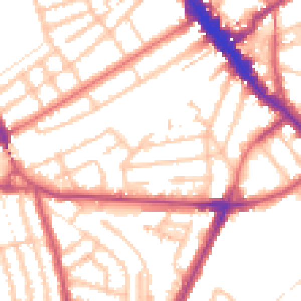
Daytime· 07:00 – 23:00
54.0dB

Night-time· 23:00 – 07:00
43.3dB