Chase House, Flat 6, 1 Hansel Road, Brent, London, NW6 5DQ
About Chase House
Chase House is a one-bedroom mid-terrace house in Brent, London, London (NW6 5DQ). It has a recorded floor area of 60 m² (around 646 sq ft), construction records dating it to 1967-1975 and council tax band B. At 60 m² this is the 13th smallest of 26 units on EPC record in Chase House, where floor areas span 46–113 m². The building's EPC ratings span C to B, with this unit at the bottom. The latest certificate (October 2023) shows a C (score 80), near the top of the C band. The rating has held steady at C across 2 certificates since January 2013. Between certificates, window efficiency dropped from Very Good to Average.
Last changed hands 13 years ago, in July 2013. At 60 m² it's 23.1% smaller than the typical home in the postcode (78 m² median across 37 EPCs).
What this property has
Inside
- Bedrooms1
- Bathrooms1
- StudyYes
Everything you need to know about Chase House
The true value, the hidden risks and the full sale history, in one report.
30-day money-back guarantee

The data behind every report


Energy performance
Chase House's carbon output is low for the local stock.
EPC Rating
Planning history
Chase House has no planning applications on record.
Notable planning nearby
3applications of note in the surrounding area
Sales history & valuation
£363,000
Modelled from EPC, postcode comparables.
£332,500
Recorded with HM Land Registry.
Sales timeline
17 July 2013Most recent
£332,500
Median price across the last 5 sales in NW6 5DQ: £600,000 (2025–2022).
Nearby sales in NW6 5DQ
5 Hansel Road, Brent, London, NW6 5DQ
Sold Jul 2025
£600,000Chase House, Flat 10, 1 Hansel Road, Brent, London, NW6 5DQ
Sold Nov 2022
£560,000Chase House, Flat 4, 1 Hansel Road, Brent, London, NW6 5DQ
Sold Aug 2022
£725,000Chase House, Flat 2, 1 Hansel Road, Brent, London, NW6 5DQ
Sold Jun 2022
£450,0003 Hansel Road, Brent, London, NW6 5DQ
Sold Jun 2022
£985,000
Versus other Hansel Road homes
Chase House is notably below the street on habitable rooms.
Price per m²
£5,542
Street avg £6,497
Floor Area
60 m²
Street avg 79 m²
Habitable Rooms
2 rooms
Street avg 3 rooms
CO₂ Emissions
1.3 t/year
Street avg 1.1 t/year
Everything you need to know about Chase House
The true value, the hidden risks and the full sale history, in one report.
30-day money-back guarantee
The data behind every report
Similar properties nearby
14 18, Flat 15, Springfield Lane, Camden
NW6 5UB
14 18, Flat 1, Springfield Lane, Camden
NW6 5UB
14 18, Flat 12, Springfield Lane, Camden
NW6 5UB
14 18, Flat 14, Springfield Lane, Camden
NW6 5UB
14 18, Flat 13, Springfield Lane, Camden
NW6 5UB
14 18, Flat 3, Springfield Lane, Camden
NW6 5UB
14 18, Flat 10, Springfield Lane, Camden
NW6 5UB
14 18, Flat 2, Springfield Lane, Camden
NW6 5UB
The neighbourhood at a glance
Rail-style transport is unusually close for this postcode.
Crime
8/mo
Rising year-on-year across the wider district.
Nearest stop
0.1 km
Cambridge Road / Carlton Vale — bus stop.
Closest school
0.3 km
St Augustine's Federated Schools: CE High School. 78 schools nearby.
Go deeper on the local area
The full report breaks down crime, transport links, schools and air quality in depth.
Road noise across the postcode
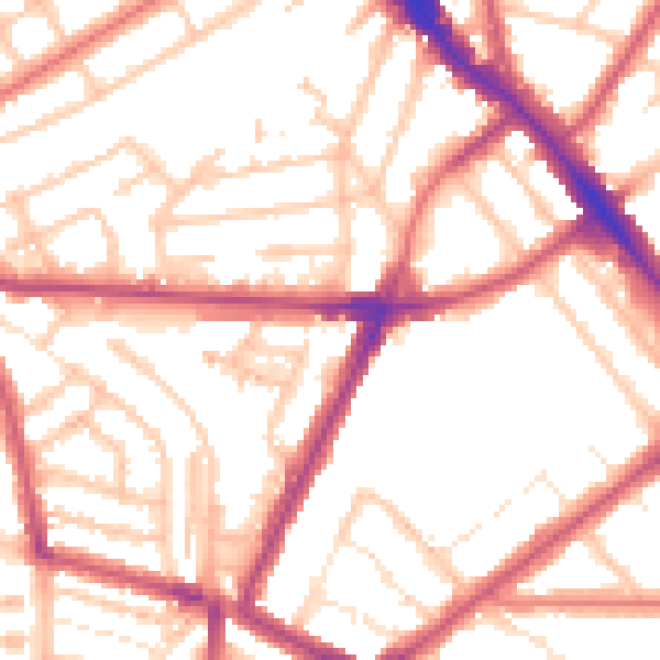
Daytime· 07:00 – 23:00
54.2dB

Night-time· 23:00 – 07:00
43.4dB