8 Loveridge Mews, Camden, London, NW6 2DP
About 8 Loveridge Mews
8 Loveridge Mews is a one-bedroom mid-terrace house in Camden, London, London (NW6 2DP). It has a recorded floor area of 35 m² (around 377 sq ft), construction records dating it to before 1900 and council tax band C. The latest certificate (January 2025) shows an E (score 49), well below the UK norm with real room to improve. When first surveyed in December 2008 the rating was F, the property has climbed 1 band since. Between certificates, wall efficiency went from Very Poor to Good, roof efficiency went from Very Poor to Good and window efficiency went from Very Poor to Good; while hot-water efficiency dropped from Poor to Very Poor and main heating dropped from Good to Very Poor. The recommended improvements would lift it to B (score 86), a 3-band jump. Main heating runs on electricity.
At 35 m² it's 25.5% smaller than the typical home in the postcode (47 m² median across 19 EPCs). On energy efficiency it sits in the bottom 10% of properties in this postcode — significant headroom for improvement. Across 1997–2023, sale prices on this property compounded at 6.5% per year. On a £-per-square-foot basis, the last sale (£975/sq ft) was about 171.7% above the typical sold price in the postcode. Sold October 2023 for £367,500.
What this property has
Inside
- Bedrooms1
- Bathrooms1
- Open-plan layoutYes
Outside
- Private gardenYes
Everything you need to know about 8 Loveridge Mews
The true value, the hidden risks and the full sale history, in one report.
30-day money-back guarantee

The data behind every report


Energy performance
8 Loveridge Mews sits at the bottom of the postcode for energy efficiency — meaningful headroom to improve.
EPC Rating
Property Improvements
Changes detected from historical EPC data
Heating controls upgraded for better temperature management
Hot water system upgraded
External or internal wall insulation added
Heating controls changed
More low energy lighting installed
Heating controls upgraded for better temperature management
Single glazing replaced with double or better glazing
Wall insulation improved
More low energy lighting installed
Heating system changed
Changed to a more efficient fuel source
Heating controls changed
Hot water system changed
Low energy lighting percentage decreased
Heating controls upgraded for better temperature management
Hot water system upgraded
Windows upgraded, improving insulation
Roof insulation improved
More low energy lighting installed
Hot water system changed
Wall insulation improved
Planning history
8 Loveridge Mews has no planning applications on record.
The full report still covers planning activity across the surrounding area.
Sales history & valuation
8 Loveridge Mews has more than quadrupled in price since its earliest registered sale in 1997.
£393,000
Modelled from EPC, postcode comparables and a sale-price growth of 6.5% per year over 26 years.
£367,500
Growth on file: 6.5% per year over 26 years.
Sales timeline
17 October 2023Most recent
£367,500
+28.9%over 16 years23 August 2007
£285,000
+59.2%over 4 years24 July 2003
£179,000
+26.1%over 9 months24 October 2002
£142,000
+35.2%over 3 years29 July 1999
£105,000
+50.0%over 2 years22 May 1997
£70,000
Median price across the last 5 sales in NW6 2DP: £468,000 (2024–2006).
Nearby sales in NW6 2DP
1 Loveridge Mews, Camden, London, NW6 2DP
Sold Oct 2024
£250,00011 Loveridge Mews, Camden, London, NW6 2DP
Sold Nov 2023
£468,00013 Loveridge Mews, Camden, London, NW6 2DP
Sold Oct 2023
£500,00012 Loveridge Mews, Camden, London, NW6 2DP
Sold Sept 2023
£600,0001a, Loveridge Mews, Camden, London, NW6 2DP
Sold Mar 2006
£320,000
Versus other Loveridge Mews homes
On epc rating, 8 Loveridge Mews runs well behind the street norm.
Price per m²
£10,500
Street avg £12,521
Floor Area
35 m²
Street avg 91 m²
Habitable Rooms
2 rooms
Street avg 4 rooms
CO₂ Emissions
2.4 t/year
Street avg 4.1 t/year
Everything you need to know about 8 Loveridge Mews
The true value, the hidden risks and the full sale history, in one report.
30-day money-back guarantee
The data behind every report
Similar properties nearby
1 Linstead Street, Camden
NW6 2HB
10 Dynham Road, Camden
NW6 2NR
10 Ariel Road, Camden
NW6 2DY
1 Iverson Road, Camden
NW6 2QT
10 Iverson Road, Camden
NW6 2HE
1 Ariel Road, Camden
NW6 2DX
10 Gladys Road, Camden
NW6 2PX
1 Gladys Road, Camden
NW6 2PU
The neighbourhood at a glance
Rail-style transport is unusually close for this postcode.
Crime
8/mo
Rising year-on-year across the wider district.
Nearest stop
0.1 km
Kilburn Station — bus stop.
Closest school
0.5 km
West Hampstead Primary School. 73 schools nearby.
Go deeper on the local area
The full report breaks down crime, transport links, schools and air quality in depth.
Road noise across the postcode
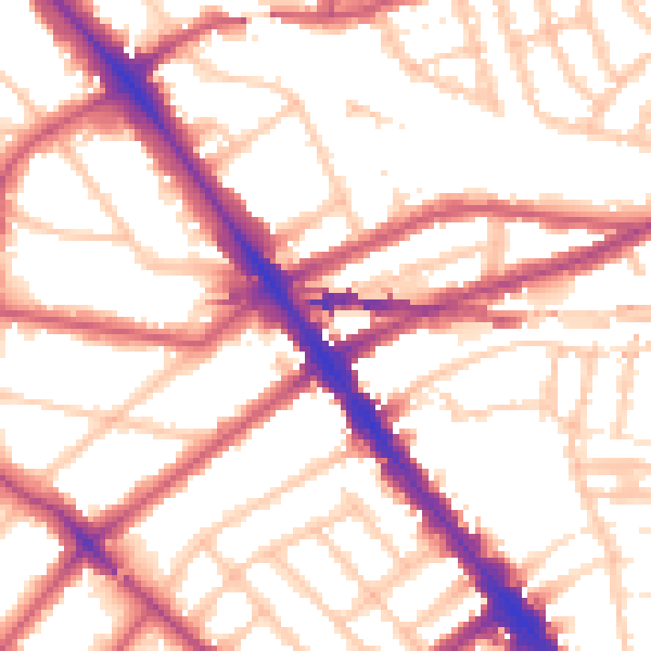
Daytime· 07:00 – 23:00
54.8dB

Night-time· 23:00 – 07:00
44.7dB