Flat B, 3 Ingham Road, London, NW6 1DG
About Flat B
Flat B is a mid-terrace house in London (NW6 1DG). It has a recorded floor area of 50 m² (around 538 sq ft), construction records dating it to 1900-1929 and council tax band D. The latest certificate (May 2022) shows a C (score 70).
Everything you need to know about Flat B
The true value, the hidden risks and the full sale history, in one report.
30-day money-back guarantee

The data behind every report


Energy performance
EPC Rating
Planning history
Flat B has no planning applications on record.
Notable planning nearby
1applications of note in the surrounding area
Sales history & valuation
Flat B has no Land Registry sales on file, suggesting it has stayed in the same hands since registration began.
£523,000
Modelled from EPC, postcode comparables.
No sales recorded with HM Land Registry
That can mean the property has never traded since the registry began publishing in 1995, was a new build that hasn't been registered yet, or is held in the same hands long-term.
Median price across the last 5 sales in NW6 1DG: £1,463,524 (2025–2019).
Nearby sales in NW6 1DG
11 Ingham Road, Camden, London, NW6 1DG
Sold May 2025
£1,275,00035 Ingham Road, Camden, London, NW6 1DG
Sold Feb 2025
£1,590,00023 Ingham Road, Camden, London, NW6 1DG
Sold Jul 2023
£1,650,00025 Ingham Road, Camden, London, NW6 1DG
Sold Aug 2021
£1,425,00037 Ingham Road, Camden, London, NW6 1DG
Sold Feb 2014
£400,000
Versus other Ingham Road homes
Habitable Rooms for Flat B runs comfortably ahead of the street norm.
EPC Rating
70 (C)
Street avg 66 (D)
Floor Area
50 m²
Street avg 50 m²
CO₂ Emissions
2.0 t/year
Street avg 2.3 t/year
Habitable Rooms
3 rooms
Street avg 3 rooms
Everything you need to know about Flat B
The true value, the hidden risks and the full sale history, in one report.
30-day money-back guarantee
The data behind every report
Similar properties nearby
148 150, Flat 2, West End Lane, Camden
NW6 1SD
112a, First Floor Flat, Fortune Green Road
NW6 1DH
112a, Second Floor Flat, Fortune Green Road
NW6 1DH
148 150, Flat 4, West End Lane, Camden
NW6 1SD
148 150, Flat 6, West End Lane, Camden
NW6 1SD
150 152, Flat 10, West End Lane, Camden
NW6 1SD
14 West Cottages, Flat 4, West End Lane, Camden
NW6 1RJ
148 150, Flat 3, West End Lane, Camden
NW6 1SD
The neighbourhood at a glance
Rail-style transport is unusually close for this postcode.
Crime
8/mo
Rising year-on-year across the wider district.
Nearest stop
0.1 km
Fortune Green — bus stop.
Closest school
0.3 km
Emmanuel Church of England Primary School. 53 schools nearby.
Go deeper on the local area
The full report breaks down crime, transport links, schools and air quality in depth.
Road noise across the postcode
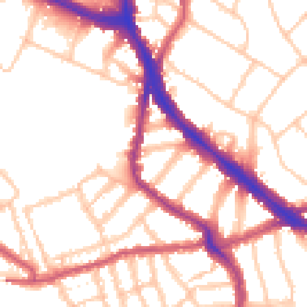
Daytime· 07:00 – 23:00
53.0dB

Night-time· 23:00 – 07:00
43.1dB