Are you a property professional?Get qualified leads from motivated homeowners.
Get started61b, Greyhound Road, London, NW10 5QH
About 61b
A plain-English summary derived from public records, EPC certificates, sold prices and local data.
61b is a property in London (NW10 5QH). It has a recorded floor area of 43 m² (around 462 sq ft), construction records dating it to 1900-1929 and council tax band B. The latest certificate (December 2009) shows a G (score 20), near the bottom of the EPC scale. The recommended improvements would lift it to E (score 51), a 2-band jump. Main heating runs on electricity. The latest certificate is from December 2009, so improvements made since then won't be reflected. At 43 m² this is the 2nd smallest of 7 units on EPC record in the building, where floor areas span 42–75 m². The building's EPC ratings span G to C, with this unit at the bottom. On EPC score it ranks last in the building (20 versus a best of 77).
It hasn't traded since June 2010, a hold of 16 years that's notably long for the area. At 43 m² it sits well below the postcode median (94 m² across 26 EPCs), making it one of the more compact homes locally. On energy efficiency it sits in the bottom 10% of properties in this postcode — significant headroom for improvement. Today's modelled estimate of £409,000 sits 92% above the 2010 sale of £213,000.
Energy performance
Every EPC certificate filed against this property — current rating, recorded improvements, and where there's headroom to reach a higher band.
61b sits at the bottom of the postcode for energy efficiency — meaningful headroom to improve.
EPC Expired
This certificate is over 10 years old and is no longer valid.Expired 21 Dec 2019
Sales history & valuation
Recorded transactions, our model's current estimate, and a quick read on what neighbouring properties have sold for.
Current estimate
See how we calculated this£409,000
Modelled from EPC, postcode comparables.
Last sold (2010)
£213,000
Recorded with HM Land Registry.
Sales timeline
Full property reportLaunch offer · 33% off
The complete analysis of 61b, Greyhound Road, London, NW10 5QH
Everything we know about this property, compiled into one in-depth, downloadable report.
Detailed AI analysis
Versus other Greyhound Road homes
Four headline reads against 10 similar flats on this street, drawn from the latest EPC and Land Registry data.
EPC Rating for 61b lags the street by a wide margin.
Price per m²
£4,962
Street avg £5,634
Floor Area
43 m²
Street avg 56 m²
Habitable Rooms
2 rooms
Street avg 3 rooms
Similar properties nearby
A handful of close matches in the same postcode area, ranked by likeness on bedrooms, type and floor area.
The neighbourhood at a glance
A condensed read of the local area. Each tile links through to the full breakdown on the London district page.
Rail-style transport is unusually close for this postcode.
Crime
11/mo
Rising year-on-year across the wider district.
Nearest stop
0.1 km
St Mary's Cemetery — bus stop.
Road noise across the postcode
Modelled day and night-time noise levels around NW10 5QH from Defra's strategic mapping. The pin marks this postcode's centroid.
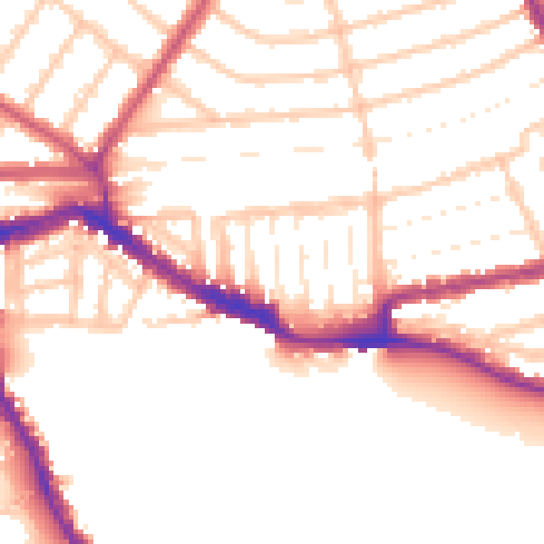
Daytime· 07:00 – 23:00
52.2dB

Everything within walking distance
Schools, transport stops and scenic spots near this property — 110 points of interest in total.
Common questions
The questions buyers, sellers and homeowners most often ask about 61b, Greyhound Road, London, NW10 5QH. Each answer is also embedded as structured data for search engines.