228c, High Street, London, NW10 4TD
About 228c
228c is a mid-terrace house in London (NW10 4TD). It has a recorded floor area of 47 m² (around 506 sq ft) and construction records dating it to before 1900. The latest certificate (February 2014) shows a D (score 56), a step below the typical UK home. The recommended improvements would push it to C (score 72). The latest certificate is from February 2014, so improvements made since then won't be reflected.
It hasn't traded since September 2005, a hold of 21 years that's notably long for the area. Across 2001–2005, sale prices on this property compounded at 18.9% per year. Today's modelled estimate of £293,000 sits 128.9% above the 2005 sale of £128,000. On a £-per-square-foot basis, the last sale (£253/sq ft) was about 62.2% above the typical sold price in the postcode.
Everything you need to know about 228c
The true value, the hidden risks and the full sale history, in one report.
30-day money-back guarantee

The data behind every report


Energy performance
228c's EPC is over a decade old — improvements since won't be reflected.
EPC Expired
This certificate is over 10 years old and is no longer valid.Expired 04 Feb 2024
EPC Rating
Planning history
228c has no planning applications on record.
Notable planning nearby
19applications of note in the surrounding area
We flagged 1 thing worth checking at 228c
Independent checks surfaced things a buyer would want to understand before offering. The report explains each one in full, with the underlying data and what to ask.
- Signs of HMO activity in the area
30-day money-back guarantee
Sales history & valuation
Sale price has at least doubled since 2001.
£293,000
Modelled from EPC, postcode comparables and a sale-price growth of 18.9% per year over 4 years.
£128,000
Growth on file: 18.9% per year over 4 years.
Sales timeline
7 September 2005Most recent
£128,000
+39.1%over 3 years28 February 2002
£92,000
+46.0%over 7 months2 August 2001
£63,000
Median price across the last 5 sales in NW10 4TD: £153,000 (2023–2014).
Nearby sales in NW10 4TD
228a 228c, High Street, Brent, London, NW10 4TD
Sold Aug 2023
£205,000228a, High Street, London, NW10 4TD
Sold Mar 2020
£10,000226 High Street, Brent, London, NW10 4TD
Sold Mar 2020
£10,000Flat 1, 238 High Street, London, NW10 4TD
Sold May 2019
£760,000Flat C, 234 High Street, London, NW10 4TD
Sold Jun 2014
£153,000
Versus other High Street homes
EPC Rating for 228c lags the street by a wide margin.
Price per m²
£2,723
Street avg £3,569
Floor Area
47 m²
Street avg 45 m²
Habitable Rooms
2 rooms
Street avg 2 rooms
CO₂ Emissions
2.8 t/year
Street avg 2.1 t/year
Everything you need to know about 228c
The true value, the hidden risks and the full sale history, in one report.
30-day money-back guarantee
The data behind every report
Similar properties nearby
10 Bank Buildings, Flat A, High Street
NW10 4LT
10 Bank Buildings, Flat B, High Street
NW10 4LT
1 Nightingale Road, Brent
NW10 4RG
1 Buckingham Mews, Brent
NW10 4RN
1 Clifton Road, Brent
NW10 4RB
1 Ranelagh Road, Brent
NW10 4UT
1 Springwell Avenue, Brent
NW10 4HN
1 Willows Terrace, Rucklidge Avenue, Brent
NW10 4PT
The neighbourhood at a glance
Rail-style transport is unusually close for this postcode.
Crime
11/mo
Rising year-on-year across the wider district.
Nearest stop
0.1 km
Willesden Junction Station — bus stop.
Closest school
0.2 km
Furness Primary School. 62 schools nearby.
Go deeper on the local area
The full report breaks down crime, transport links, schools and air quality in depth.
Road noise across the postcode
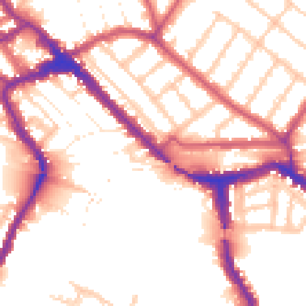
Daytime· 07:00 – 23:00
54.1dB

Night-time· 23:00 – 07:00
45.6dB