Are you a property professional?Get qualified leads from motivated homeowners.
Get started15b, St Thomas S Road, London, NW10 4AH
3 sales on record
About 15b
A plain-English summary derived from public records, EPC certificates, sold prices and local data.
15b is a property in London (NW10 4AH). It has a recorded floor area of 38 m² (around 409 sq ft), construction records dating it to 1900-1929 and council tax band B. At 38 m² this is the 3rd smallest of 7 units on EPC record in the building, where floor areas span 25–88 m². The building's EPC ratings span E to C across 7 units on file. The latest certificate (November 2025) shows a D (score 59), a step below the typical UK home. The recommended improvements would push it to C (score 72).
Sale prices here have lagged London HPI: -0.4% per year against 0% for the wider region. Today's modelled estimate of £348,000 is 22.1% above the 2015 sale price. On a £-per-square-foot basis, the last sale (£697/sq ft) was about 209% above the typical sold price in the postcode. At 38 m² it sits well below the postcode median (55 m² across 18 EPCs), making it one of the more compact homes locally. On the market in April 2015 and unlisted since — roughly 11 years.
Energy performance
Every EPC certificate filed against this property — current rating, recorded improvements, and where there's headroom to reach a higher band.
EPC Rating
A
B
C
D
D59
E
F
G
Main Heating
—
Main Fuel
Gas
Hot Water
Average
Windows
Poor
CO2 Emissions
2.5 t/year
Occupancy
Rented
Sales history & valuation
Recorded transactions, our model's current estimate, and a quick read on what neighbouring properties have sold for.
15b's sale-price growth has lagged the wider UK trajectory across its history on file.
Current estimate
See how we calculated this£348,000
Modelled from EPC, postcode comparables and a sale-price growth of -0.4% per year over 12 years.
Last sold (2015)
£285,000
Growth on file: -0.4% per year over 12 years.
Sales timeline
Full property reportLaunch offer · 33% off
The complete analysis of 15b, St Thomas S Road, London, NW10 4AH
Everything we know about this property, compiled into one in-depth, downloadable report.
Detailed AI analysis
Versus other St Thomas S Road homes
Four headline reads against 11 similar flats on this street, drawn from the latest EPC and Land Registry data.
15b outperforms the street on price per m² by a wide margin.
Price per m²
£7,500
Street avg £3,320
Floor Area
38 m²
Street avg 51 m²
Habitable Rooms
2 rooms
Similar properties nearby
A handful of close matches in the same postcode area, ranked by likeness on bedrooms, type and floor area.
The neighbourhood at a glance
A condensed read of the local area. Each tile links through to the full breakdown on the London district page.
Rail-style transport is unusually close for this postcode.
Crime
11/mo
Rising year-on-year across the wider district.
Nearest stop
0.1 km
Craven Park — bus stop.
Road noise across the postcode
Modelled day and night-time noise levels around NW10 4AH from Defra's strategic mapping. The pin marks this postcode's centroid.
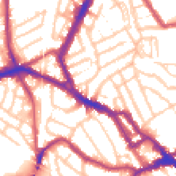
Daytime· 07:00 – 23:00
55.2dB

Everything within walking distance
Schools, transport stops and scenic spots near this property — 79 points of interest in total.
Common questions
The questions buyers, sellers and homeowners most often ask about 15b, St Thomas S Road, London, NW10 4AH. Each answer is also embedded as structured data for search engines.