Are you a property professional?Get qualified leads from motivated homeowners.
Get started260 London Road South, Lowestoft, NR33 0BE
6 sales on record
About 260 London Road South
A plain-English summary derived from public records, EPC certificates, sold prices and local data.
260 London Road South is a four-bedroom semi-detached house in Lowestoft (NR33 0BE). It has a recorded floor area of 153 m² (around 1647 sq ft), construction records dating it to before 1900 and council tax band C. The latest certificate (November 2017) shows an F (score 34), near the bottom of the EPC scale. The recommended improvements would lift it to D (score 65), a 2-band jump. Period features are noted in the property record.
Sale prices here have outpaced England HPI: 9.3% per year against 0% for the wider region. Today's modelled estimate of £266,000 is 23.7% above the 2018 sale price. On a £-per-square-foot basis, the last sale (£131/sq ft) was about 59.3% above the typical sold price in the postcode. At 153 m² the property is well over the postcode median (49 m² across 19 EPCs), placing it in the larger end of the local stock. It lags the bulk of the postcode on energy efficiency (less efficient than 89% of similar EPCs). 8 years since the last transfer (February 2018). Across the public record there are 6 sales, relatively high churn for a single property.
What this property has
Pulled from EPC certificates, claim submissions and our property model. Empty categories are hidden — we only show what's known.
Inside
- Bedrooms4
- Bathrooms1
- EnsuiteYes
Outside
- Parking
Energy performance
Every EPC certificate filed against this property — current rating, recorded improvements, and where there's headroom to reach a higher band.
260 London Road South's carbon output runs well above what efficient homes in the postcode produce.
EPC Rating
A
B
C
D
E
F
F34
G
Main Heating
Gas
Main Fuel
Gas
Hot Water
Good
Windows
Very Poor
CO2 Emissions
13.0 t/year
Occupancy
Owner Occupied
Sales history & valuation
Recorded transactions, our model's current estimate, and a quick read on what neighbouring properties have sold for.
Price for 260 London Road South has grown more than fourfold since the 1998 starting point.
Current estimate
See how we calculated this£266,000
Modelled from EPC, postcode comparables and a sale-price growth of 9.3% per year over 20 years.
Last sold (2018)
£214,950
Growth on file: 9.3% per year over 20 years.
Sales timeline
Versus other London Road South homes
Four headline reads against 9 similar houses on this street, drawn from the latest EPC and Land Registry data.
On co₂ emissions, 260 London Road South runs well behind the street norm.
Price per m²
£1,405
Street avg £1,403
Floor Area
153 m²
Street avg 138 m²
Habitable Rooms
6 rooms
Similar properties nearby
A handful of close matches in the same postcode area, ranked by likeness on bedrooms, type and floor area.
The neighbourhood at a glance
A condensed read of the local area. Each tile links through to the full breakdown on the Lowestoft district page.
Crime
4/mo
Steady year-on-year across the wider district.
Nearest stop
0.0 km
Lorne Park Road — bus stop.
Road noise across the postcode
Modelled day and night-time noise levels around NR33 0BE from Defra's strategic mapping. The pin marks this postcode's centroid.
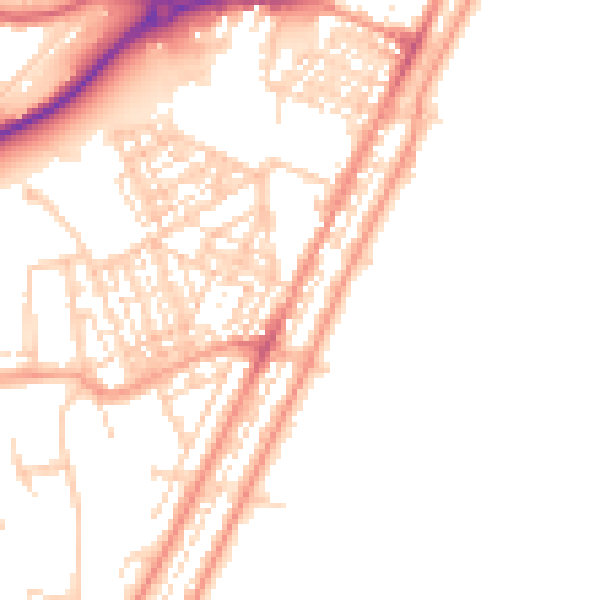
Daytime· 07:00 – 23:00
51.0dB

Everything within walking distance
Schools, transport stops and scenic spots near this property — 46 points of interest in total.
Beautiful places to visit nearby
Curated scenic spots within reach of this postcode, served by Beautifulplaces.ai. Photography and tagging come from their open dataset.
Common questions
The questions buyers, sellers and homeowners most often ask about 260 London Road South, Lowestoft, NR33 0BE. Each answer is also embedded as structured data for search engines.