21 Brownshill, Cromer, NR27 0QA
About 21 Brownshill
21 Brownshill is a mid-terrace house in Cromer (NR27 0QA). It has a recorded floor area of 77 m² (around 829 sq ft), construction records dating it to 1983-1990 and council tax band B. The latest certificate (October 2022) shows a C (score 71). The recommended improvements would push it to B (score 86).
Today's modelled estimate of £197,000 sits 89.4% above the 2024 sale of £104,000. On a £-per-square-foot basis, the last sale (£125/sq ft) was about 26.2% below the postcode norm. At 77 m² it's 22.8% larger than the typical home in the postcode (63 m² median across 52 EPCs). Last sale on file: £104,000 in September 2024.
Know exactly what you're buying at 21 Brownshill
Before you offer, see what the listing won't tell you, the true value, the red flags and the full history.
Already flagged here
Valuation
against the asking price
Risks
planning & flood
Sold prices
similar homes nearby
Trends
the local market
Energy performance
EPC Rating
Planning history
21 Brownshill has no planning applications on record.
Notable planning nearby
2applications of note in the surrounding area
We flagged 1 thing worth checking at 21 Brownshill
Independent checks surfaced things a buyer would want to understand before offering. The report explains each one in full, with the underlying data and what to ask.
- Larger development activity nearby
30-day money-back guarantee
Sales history & valuation
21 Brownshill valuation sits well clear of the typical sold price in this postcode.
£197,000
Modelled from EPC, postcode comparables.
£104,000
Recorded with HM Land Registry.
Sales timeline
30 September 2024Most recent
£104,000
Median price across the last 5 sales in NR27 0QA: £225,000 (2025–2022).
Everything we know about 21 Brownshill, in one report
What it's really worth, what could be wrong, and the planning, sales and area data in full.
What we flagged
- Larger development activity nearby

Versus other Brownshill homes
21 Brownshill is notably below the street on price per m².
Price per m²
£1,351
Street avg £2,399
Floor Area
77 m²
Street avg 71 m²
Habitable Rooms
4 rooms
Street avg 4 rooms
CO₂ Emissions
2.9 t/year
Street avg 2.6 t/year
Similar properties nearby
1 Clement Scott Mews
NR27 0DG
1 Brownshill
NR27 0QA
1 Bridge Terrace, Norwich Road
NR27 0HF
1 Barn Owl Barn, Cromer Road, Sidestrand
NR27 0LT
1 Bailey Road
NR27 0JQ
1 Church Street, Northrepps
NR27 0LG
1 Brickfield Cottage, Roughton Road
NR27 0HL
1 Craft Lane, Northrepps
NR27 0LL
The neighbourhood at a glance
Rail-style transport is unusually close for this postcode.
Crime
3/mo
Steady year-on-year across the wider district.
Nearest stop
0.2 km
Roughton Road Rail Station — railway station.
Closest school
0.3 km
Cromer Junior School. 5 schools nearby.
Go deeper on the local area
The full report breaks down crime, transport links, schools and air quality in depth.
Road noise across the postcode
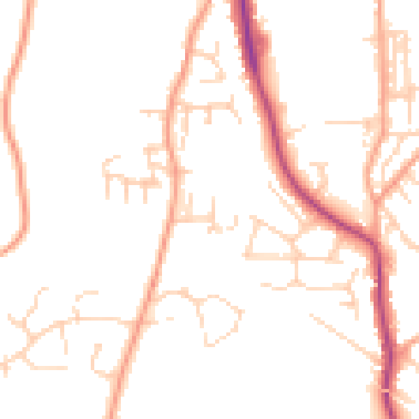
Daytime· 07:00 – 23:00
48.5dB

Night-time· 23:00 – 07:00
38.9dB