42a, Cromwell Road, Cromer, NR27 0BE
About 42a
42a is a detached house in Cromer (NR27 0BE). It has a recorded floor area of 250 m² (around 2691 sq ft), construction records dating it to before 1900 and council tax band E. The latest certificate (September 2021) shows an E (score 49), well below the UK norm with real room to improve. The recommended improvements would lift it to C (score 70), a 2-band jump.
At 250 m² the property is well over the postcode median (118 m² across 15 EPCs), placing it in the larger end of the local stock. It lags the bulk of the postcode on energy efficiency (less efficient than 73% of similar EPCs).
Know exactly what you're buying at 42a
Before you offer, see what the listing won't tell you, the true value, the red flags and the full history.
Already flagged here
Valuation
against the asking price
Risks
planning & flood
Sold prices
similar homes nearby
Trends
the local market
Energy performance
42a's carbon output runs well above what efficient homes in the postcode produce.
EPC Rating
Planning history
42a has no planning applications on record.
Notable planning nearby
2applications of note in the surrounding area
We flagged 1 thing worth checking at 42a
Independent checks surfaced things a buyer would want to understand before offering. The report explains each one in full, with the underlying data and what to ask.
- Larger development activity nearby
30-day money-back guarantee
Sales history & valuation
42a has no Land Registry sales on file, suggesting it has stayed in the same hands since registration began.
£672,000
Modelled from EPC, postcode comparables.
No sales recorded with HM Land Registry
That can mean the property has never traded since the registry began publishing in 1995, was a new build that hasn't been registered yet, or is held in the same hands long-term.
Median price across the last 5 sales in NR27 0BE: £400,000 (2025–2021).
Nearby sales in NR27 0BE
Everything we know about 42a, in one report
What it's really worth, what could be wrong, and the planning, sales and area data in full.
What we flagged
- Larger development activity nearby

Versus other Cromwell Road homes
On floor area, 42a stands well clear of the street.
EPC Rating
49 (E)
Street avg 63 (D)
Floor Area
250 m²
Street avg 126 m²
CO₂ Emissions
15.0 t/year
Street avg 5.5 t/year
Habitable Rooms
11 rooms
Street avg 6 rooms
Similar properties nearby
1 Cliff Drive
NR27 0AW
1 Cromer Road, Overstrand
NR27 0NU
1 Beckhythe Gardens, Mundesley Road, Overstrand
NR27 0PT
1 Burgess Close
NR27 0FF
1 Arden Close, Overstrand
NR27 0PH
1 Carrington Road
NR27 0DU
1 Alexandra Road
NR27 0JB
1 Bracken End, Bracken Avenue, Overstrand
NR27 0PA
The neighbourhood at a glance
Rail-style transport is unusually close for this postcode.
Crime
3/mo
Steady year-on-year across the wider district.
Nearest stop
0.9 km
Roughton Road Rail Station — railway station.
Closest school
0.3 km
Cromer Academy. 4 schools nearby.
Go deeper on the local area
The full report breaks down crime, transport links, schools and air quality in depth.
Road noise across the postcode
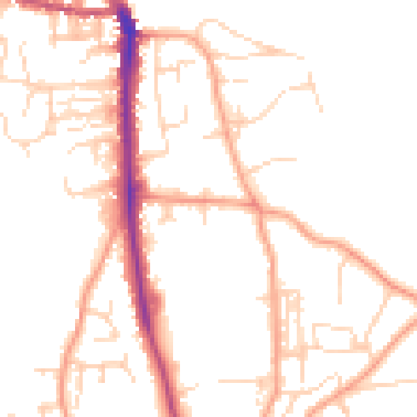
Daytime· 07:00 – 23:00
49.0dB
Night-time· 23:00 – 07:00
39.6dB