55 Blackthorn Road, Wymondham, NR18 0PY
About 55 Blackthorn Road
55 Blackthorn Road is a three-bedroom detached house in Wymondham (NR18 0PY). It has a recorded floor area of 91 m² (around 980 sq ft), construction records dating it to 1996-2002 and council tax band D. The latest certificate (October 2022) shows a C (score 71). The recommended improvements would push it to B (score 84).
At 91 m² it's 18.2% larger than the typical home in the postcode (77 m² median across 41 EPCs). Across 2004–2023, sale prices on this property compounded at 2.9% per year. Today's modelled estimate of £327,000 is 12.8% above the 2023 sale price. On a £-per-square-foot basis, the last sale (£296/sq ft) was about 51.8% above the typical sold price in the postcode. Most recent transfer: March 2023 at £290,000.
Know exactly what you're buying at 55 Blackthorn Road
Before you offer, see what the listing won't tell you, the true value, the red flags and the full history.
Valuation
against the asking price
Risks
planning & flood
Sold prices
similar homes nearby
Trends
the local market
What this property has
Inside
- Bedrooms3
- Bathrooms2
- EnsuiteYes
Outside
- Private gardenRear
- GarageDetached
Building
- RefurbishedYes
Energy performance
EPC Rating
Planning history
55 Blackthorn Road has no planning applications on record.
The full report still covers planning activity across the surrounding area.
Sales history & valuation
55 Blackthorn Road valuation sits well clear of the typical sold price in this postcode.
£327,000
Modelled from EPC, postcode comparables and a sale-price growth of 2.9% per year over 19 years.
£290,000
Growth on file: 2.9% per year over 19 years.
Sales timeline
9 March 2023Most recent
£290,000
+50.3%over 15 years29 July 2007
£193,000
+13.5%over 3 years29 June 2004
£169,995
Median price across the last 5 sales in NR18 0PY: £290,000 (2025–2023).
Nearby sales in NR18 0PY
7 Blackthorn Road, Wymondham, NR18 0PY
Sold Sept 2025
£390,00083 Blackthorn Road, Wymondham, NR18 0PY
Sold Dec 2024
£160,00024 Blackthorn Road, Wymondham, NR18 0PY
Sold Aug 2024
£290,00041 Blackthorn Road, Wymondham, NR18 0PY
Sold Aug 2023
£172,50044 Blackthorn Road, Wymondham, NR18 0PY
Sold Jun 2023
£310,000
Everything we know about 55 Blackthorn Road, in one report
What it's really worth, what could be wrong, and the planning, sales and area data in full.
- Am I paying too much?
- Is something wrong with it?
- Is the agent's story true?
- Will it hold its value?

Versus other Blackthorn Road homes
Years Held for 55 Blackthorn Road lags the street by a wide margin.
Price per m²
£3,187
Street avg £2,477
Floor Area
91 m²
Street avg 87 m²
Habitable Rooms
4 rooms
Street avg 5 rooms
CO₂ Emissions
3.1 t/year
Street avg 2.6 t/year
Similar properties nearby
1 Banister Way
NR18 0TY
1 Aldwick Road
NR18 0JD
1 Blazey Drive
NR18 0UY
1 Back Lane
NR18 0QB
1 Applegarth Court
NR18 0BY
1 Ash Close
NR18 0HR
1 Beckets Grove
NR18 0UU
1 Barnham Broom Road
NR18 0DF
The neighbourhood at a glance
Rail-style transport is unusually close for this postcode.
Crime
4/mo
Steady year-on-year across the wider district.
Nearest stop
1.0 km
Wymondham Rail Station — railway station.
Closest school
0.7 km
Browick Road Primary and Nursery School. 5 schools nearby.
Go deeper on the local area
The full report breaks down crime, transport links, schools and air quality in depth.
Road noise across the postcode
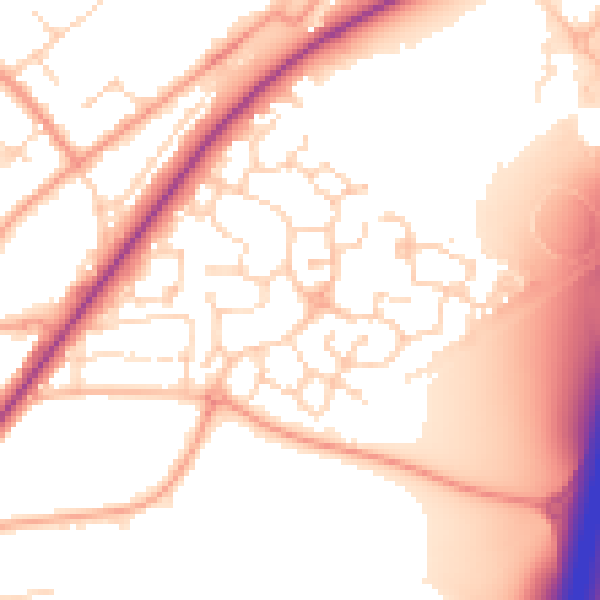
Daytime· 07:00 – 23:00
54.5dB

Night-time· 23:00 – 07:00
44.7dB