The Cherries, West Carr Road, Attleborough, NR17 1AA
About The Cherries
The Cherries is a four-bedroom detached house in Attleborough (NR17 1AA). It has a recorded floor area of 118 m² (around 1270 sq ft), construction records dating it to 1983-1990 and council tax band C. The latest certificate (September 2024) shows a C (score 71). When first surveyed in March 2017 the rating was D, the property has climbed 1 band since. Between certificates, lighting went from Average to Very Good; while window efficiency dropped from Good to Average. The recommended improvements would push it to B (score 83). The home occupies a corner plot.
Most recent transfer was December 2024 at £400,000 — fresh data. 2 planning records sit against the property, 1 approved, 0 refused. Past consents include an extension, meaningful when judging how the property has evolved. At 118 m² it's 15.7% larger than the typical home in the postcode (102 m² median across 28 EPCs). Across 1995–2024, sale prices on this property compounded at 6.6% per year. On a £-per-square-foot basis, the last sale (£315/sq ft) was about 55.7% above the typical sold price in the postcode.
What this property has
Inside
- Bedrooms4
- Bathrooms2
- EnsuiteYes
Outside
- Private gardenWrap around
- GarageDouble
- Corner plotYes
Building
- RefurbishedYes
Everything you need to know about The Cherries
The true value, the hidden risks and the full sale history, in one report.
30-day money-back guarantee

The data behind every report


Energy performance
EPC Rating
Property Improvements
Changes detected from historical EPC data
More low energy lighting installed
Planning history
- Jul 2021ExtensionFullIn report
Amendments to approved Planning Application 3PL/2021/0178/HOU - removal of rear extension and various alterations
- Documents
- 9 docs on file
- Reference
- 3PL/2021/0854/HOU
- Mar 2021Garage ConversionFullIn report
Extension: Single storey · Rear of property
Proposed rear single storey extension, conversion of existing garage to form downstairs shower room & utility room and internal alterations to first floor layout.
Extension- Documents
- 9 docs on file
- Reference
- 3PL/2021/0178/HOU
We flagged 1 thing worth checking at The Cherries
Independent checks surfaced things a buyer would want to understand before offering. The report explains each one in full, with the underlying data and what to ask.
- Larger development activity nearby
30-day money-back guarantee
Sales history & valuation
Price for The Cherries has grown more than fourfold since the 1995 starting point.
£397,000
Modelled from EPC, postcode comparables and a sale-price growth of 6.6% per year over 30 years.
£400,000
Growth on file: 6.6% per year over 30 years.
Sales timeline
6 December 2024Most recent
£400,000
+40.4%over 4 years9 March 2020
£285,000
+379.0%over 24 years12 April 1995
£59,500
Median price across the last 5 sales in NR17 1AA: £265,000 (2025–2021).
Nearby sales in NR17 1AA
Glenross, West Carr Road, Attleborough, NR17 1AA
Sold Jul 2025
£345,0003 West Carr Road, Attleborough, NR17 1AA
Sold Oct 2024
£265,000Willowdale, West Carr Road, Attleborough, NR17 1AA
Sold Jun 2024
£680,0006 West Carr Road, Attleborough, NR17 1AA
Sold Nov 2021
£170,000Timaru, West Carr Road, Attleborough, NR17 1AA
Sold Sept 2021
£325,000
Versus other West Carr Road homes
On years held, The Cherries runs well behind the street norm.
Price per m²
£3,390
Street avg £2,726
Floor Area
118 m²
Street avg 118 m²
Habitable Rooms
5 rooms
Street avg 5 rooms
CO₂ Emissions
4.1 t/year
Street avg 4.4 t/year
Everything you need to know about The Cherries
The true value, the hidden risks and the full sale history, in one report.
30-day money-back guarantee
The data behind every report
Similar properties nearby
1 Celandine Road
NR17 1XT
1 Blenheim Drive
NR17 1QZ
1 Bracken Drive
NR17 1TA
1 Barbers Yard, The Green, Old Buckenham
NR17 1RW
1 Buckenham Road
NR17 1NQ
1 Chequers Lane, Great Ellingham
NR17 1HR
1 Barley Way
NR17 1YD
1 Bowling Green Terrace, Rocklands Road, Shropham
NR17 1FE
The neighbourhood at a glance
Crime
2/mo
Steady year-on-year across the wider district.
Nearest stop
1.5 km
Attleborough Rail Station — railway station.
Closest school
0.4 km
Rosecroft Primary School. 3 schools nearby.
Go deeper on the local area
The full report breaks down crime, transport links, schools and air quality in depth.
Road noise across the postcode
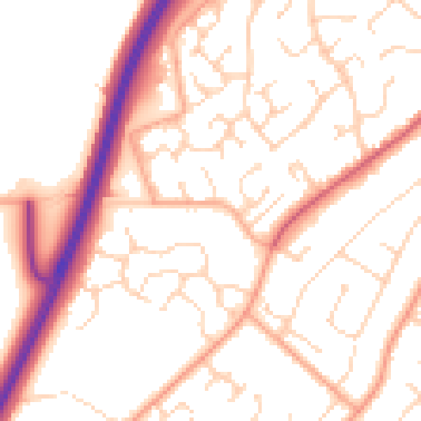
Daytime· 07:00 – 23:00
52.5dB

Night-time· 23:00 – 07:00
42.0dB