75 Chatsworth Drive, Wellingborough, NN8 5FD
About 75 Chatsworth Drive
75 Chatsworth Drive is a four-bedroom detached house in Wellingborough (NN8 5FD). It has a recorded floor area of 103 m² (around 1109 sq ft), construction records dating it to 1983-1990 and council tax band D. The latest certificate (March 2021) shows a C (score 70). The recommended improvements would push it to B (score 83).
At 103 m² it's 16.4% larger than the typical home in the postcode (89 m² median across 22 EPCs). Across 1996–2021, sale prices on this property compounded at 5.2% per year. Today's modelled estimate of £372,000 is 23.4% above the 2021 sale price. On a £-per-square-foot basis, the last sale (£272/sq ft) was about 62.9% above the typical sold price in the postcode. Sold June 2021 for £301,500. That sale was during the post-pandemic price surge, when transactions cleared materially above pre-2020 trend. One historical planning record sits against the property in 2007.
What this property has
Inside
- Bedrooms4
- Bathrooms2
Everything you need to know about 75 Chatsworth Drive
The true value, the hidden risks and the full sale history, in one report.
Pick your report · every report is £14.99
One time fee only - money back guarantee

The data behind every report


Energy performance
EPC Rating
Get a survey for this property
Level 2 HomeBuyer Report
We've checked 10 risk factors against the available data for this property and believe a Level 2 HomeBuyer Report could be a suitable option for you.
From £595 · Includes VAT
Planning history
1 application on record at 75 Chatsworth Drive, Wellingborough, NN8 5FD
- Dec 2007FullOutcome in report
Proposed chimney adjacent to existing house.
- Documents
- 3 docs on file
- Reference
- WP/2007/0712
Unlock 75 Chatsworth Drive, Wellingborough, NN8 5FD's full planning history
You're seeing the shape of it. The report has the substance.
- Every decision — granted, refused or withdrawn (1 on record)
- All 1 application on this property in full
- The 3 documents, officer reports & conditions
- What the pattern means for extending or converting here
One time fee only - money back guarantee
Sales history & valuation
Sale price has grown by over 3x since 1996.
£372,000
Modelled from EPC, postcode comparables and a sale-price growth of 5.2% per year over 25 years.
£301,500
Growth on file: 5.2% per year over 25 years.
Sales timeline
22 June 2021Most recent
£301,500
+254.7%over 25 years18 April 1996
£84,995
Median price across the last 5 sales in NN8 5FD: £375,000 (2025–2020).
Nearby sales in NN8 5FD
67 Chatsworth Drive, Wellingborough, NN8 5FD
Sold Jul 2025
£375,00073 Chatsworth Drive, Wellingborough, NN8 5FD
Sold Aug 2022
£460,00019 Chatsworth Drive, Wellingborough, NN8 5FD
Sold Dec 2021
£398,00053 Chatsworth Drive, Wellingborough, NN8 5FD
Sold Jul 2021
£190,00055 Chatsworth Drive, Wellingborough, NN8 5FD
Sold Aug 2020
£165,000
Versus other Chatsworth Drive homes
Price per m² for 75 Chatsworth Drive runs comfortably ahead of the street norm.
Price per m²
£2,927
Street avg £2,331
Floor Area
103 m²
Street avg 90 m²
Habitable Rooms
6 rooms
Street avg 5 rooms
CO₂ Emissions
3.2 t/year
Street avg 3.4 t/year
Everything you need to know about 75 Chatsworth Drive
The true value, the hidden risks and the full sale history, in one report.
Pick your report · every report is £14.99
One time fee only - money back guarantee
The data behind every report
Similar properties nearby
The neighbourhood at a glance
Crime
5/mo
Steady year-on-year across the wider district.
Nearest stop
0.2 km
23 Muirfield Road — bus stop.
Closest school
0.7 km
The Glenvale Church of England Primary School. 17 schools nearby.
Go deeper on the local area
A Local Area report breaks down crime, transport links, schools and air quality in depth.
Road noise across the postcode
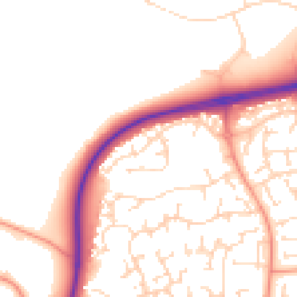
Daytime· 07:00 – 23:00
52.0dB

Night-time· 23:00 – 07:00
42.7dB