3a, Kingsfield Way, Kings Heath Industrial Estate, Northampton, NN5 7QN
About 3a
3a is a property in Kings Heath Industrial Estate, Northampton, Northampton (NN5 7QN).
Last sold in May 2018, so it's been off the market for around 8 years. 5 planning records sit against the property, 1 approved, 1 refused. Across 2000–2018, sale prices on this property compounded at 20% per year.
Know exactly what you're buying at 3a
Before you offer, see what the listing won't tell you, the true value, the red flags and the full history.
Already flagged here
Valuation
against the asking price
Risks
planning & flood
Sold prices
similar homes nearby
Trends
the local market
Energy performance
No EPC on record
This property doesn't have an Energy Performance Certificate yet. An EPC is required to sell or let — and unlocks our automated valuation.
Planning history
- Apr 2022Change Of UseFullIn report
Change of Use From Offices/Warehouse (Use Class E and B8) to Church (Use Class F1) - Retrospective
Retrospective- Documents
- 17 docs on file
- Reference
- N/2020/1284
- Sept 2019Change Of UseFullIn report
Change of Use from Offices/Warehouse (Use Class B1/B8) to Church (Use Class D2) (Amendment to planning application N/2018/0055) to include additional on site parking and turning area on land under client ownership
- Documents
- 43 docs on file
- Reference
- N/2019/0959
We flagged 2 things worth checking at 3a
Independent checks surfaced things a buyer would want to understand before offering. The report explains each one in full, with the underlying data and what to ask.
- Signs of HMO activity in the area
- Larger development activity nearby
30-day money-back guarantee
Sales history & valuation
3a has more than quadrupled in price since its earliest registered sale in 2000.
£760,000
Growth on file: 20.0% per year over 18 years.
Sales timeline
28 May 2018Most recent
£760,000
+2520.7%over 17 years22 June 2000
£29,000
Median price across the last 1 sales in NN5 7QN: £950,000 (2023–2023).
Everything we know about 3a, in one report
What it's really worth, what could be wrong, and the planning, sales and area data in full.
What we flagged
- Signs of HMO activity in the area
- Larger development activity nearby

Similar properties nearby
The neighbourhood at a glance
Daytime road noise here sits well below conversation level — a quiet pocket of the postcode.
Crime
6/mo
Steady year-on-year across the wider district.
Nearest stop
0.2 km
Portakabin Factory — bus stop.
Closest school
0.4 km
St Mary's Catholic Primary School. 27 schools nearby.
Go deeper on the local area
The full report breaks down crime, transport links, schools and air quality in depth.
Road noise across the postcode
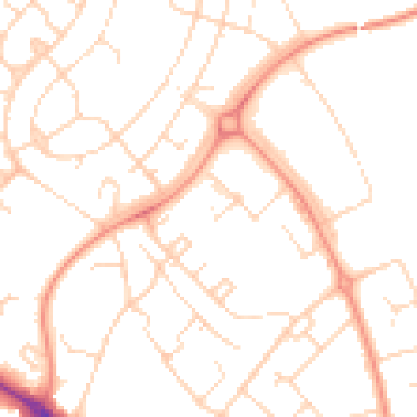
Daytime· 07:00 – 23:00
50.0dB

Night-time· 23:00 – 07:00
38.2dB