67 Spencer Bridge Road, Northampton, NN5 7DP
About 67 Spencer Bridge Road
67 Spencer Bridge Road is a mid-terrace house in Northampton (NN5 7DP). It has a recorded floor area of 87 m² (around 936 sq ft), construction records dating it to 1900-1929 and council tax band A. The latest certificate (January 2026) shows a D (score 67), on the cusp of jumping into the C band. When first surveyed in October 2008 the rating was E, the property has climbed 1 band since. Between certificates, roof efficiency went from Very Poor to Very Good, hot-water efficiency went from Average to Good and lighting went from Good to Very Good; while window efficiency dropped from Average to Poor. The recommended improvements would lift it to B (score 85), a 2-band jump. This certificate was lodged in the last six months, so the rating reflects current condition.
One planning record on file: HMO conversion approved in 2016. Past consents include HMO conversion, meaningful when judging how the property has evolved. Across 2015–2024, sale prices on this property compounded at 2% per year. Today's modelled estimate of £195,000 is 25% above the 2024 sale price. On a £-per-square-foot basis, the last sale (£167/sq ft) was about 31% above the typical sold price in the postcode. Most recent transfer: January 2024 at £156,000.
Know exactly what you're buying at 67 Spencer Bridge Road
Before you offer, see what the listing won't tell you, the true value, the red flags and the full history.
Already flagged here
Valuation
against the asking price
Risks
planning & flood
Sold prices
similar homes nearby
Trends
the local market
Energy performance
Recommended upgrades on file would lift this property by multiple EPC bands.
EPC Rating
Property Improvements
Changes detected from historical EPC data
Hot water system upgraded
Roof insulation improved
Low energy lighting percentage decreased
Loft insulation upgraded to recommended levels
More low energy lighting installed
Planning history
- Feb 2016HMOFullIn report
Change of use from dwelling (use class C3) into house in multiple occupation for 4no occupants (use class C4).
- Documents
- 46 docs on file
- Reference
- N/2015/1262
We flagged 2 things worth checking at 67 Spencer Bridge Road
Independent checks surfaced things a buyer would want to understand before offering. The report explains each one in full, with the underlying data and what to ask.
- Signs of HMO activity in the area
- Larger development activity nearby
30-day money-back guarantee
Sales history & valuation
67 Spencer Bridge Road saw 3 transfers in just over a decade — high turnover for the postcode.
£195,000
Modelled from EPC, postcode comparables and a sale-price growth of 2.0% per year over 8 years.
£156,000
Growth on file: 2.0% per year over 8 years.
Sales timeline
24 January 2024Most recent
£156,000
-29.1%over 2 years4 October 2021
£220,000
+65.4%over 5 years4 November 2015
£133,000
Median price across the last 5 sales in NN5 7DP: £200,000 (2024–2016).
Nearby sales in NN5 7DP
71 Spencer Bridge Road, Northampton, NN5 7DP
Sold Oct 2024
£200,00065 Spencer Bridge Road, Northampton, NN5 7DP
Sold Mar 2022
£204,99561a, Spencer Bridge Road, Northampton, NN5 7DP
Sold Oct 2018
£250,00069 Spencer Bridge Road, Northampton, NN5 7DP
Sold Oct 2013
£96,00092 Spencer Bridge Road, Northampton, NN5 7DP
Sold Nov 2007
£116,000
Everything we know about 67 Spencer Bridge Road, in one report
What it's really worth, what could be wrong, and the planning, sales and area data in full.
What we flagged
- Signs of HMO activity in the area
- Larger development activity nearby

Versus other Spencer Bridge Road homes
On years held, 67 Spencer Bridge Road runs well behind the street norm.
Price per m²
£1,793
Street avg £1,612
Floor Area
87 m²
Street avg 93 m²
Habitable Rooms
5 rooms
Street avg 5 rooms
CO₂ Emissions
3.4 t/year
Street avg 4.3 t/year
Similar properties nearby
The neighbourhood at a glance
Rail-style transport is unusually close for this postcode.
Crime
6/mo
Steady year-on-year across the wider district.
Nearest stop
0.0 km
Muscott Street — bus stop.
Closest school
0.3 km
St James Church of England Primary School. 29 schools nearby.
Go deeper on the local area
The full report breaks down crime, transport links, schools and air quality in depth.
Road noise across the postcode
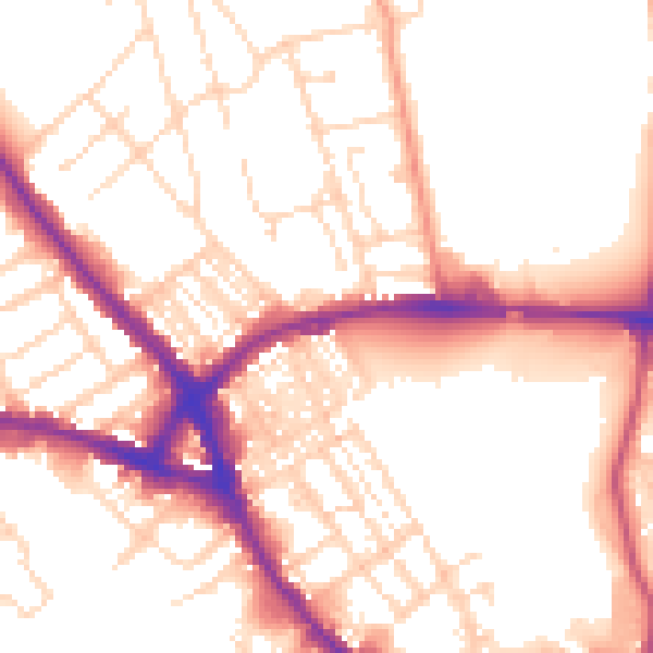
Daytime· 07:00 – 23:00
53.6dB

Night-time· 23:00 – 07:00
43.9dB