19a, The Avenue, Dallington, Northampton, NN5 7AJ
About 19a
19a is a detached house in Dallington, Northampton, Northampton (NN5 7AJ). It has a recorded floor area of 155 m² (around 1669 sq ft), construction records dating it to 1967-1975 and council tax band F. The latest certificate (May 2011) shows a D (score 65), on the cusp of jumping into the C band. The recommended improvements would push it to C (score 70). The latest certificate is from May 2011, so improvements made since then won't be reflected.
Held since April 2002 — that's 24 years off the open market, well above the local norm. Across 1996–2002, sale prices on this property compounded at 14.3% per year. Today's modelled estimate of £527,000 sits 110.8% above the 2002 sale of £250,000. One planning record on file: an extension approved in 2003. Past consents include an extension and a conservatory, meaningful when judging how the property has evolved. At 155 m² it's 20.9% smaller than the typical home in the postcode (196 m² median across 31 EPCs).
Know exactly what you're buying at 19a
Before you offer, see what the listing won't tell you, the true value, the red flags and the full history.
Already flagged here
Valuation
against the asking price
Risks
planning & flood
Sold prices
similar homes nearby
Trends
the local market
Energy performance
19a's EPC is over a decade old — improvements since won't be reflected.
EPC Expired
This certificate is over 10 years old and is no longer valid.Expired 18 May 2021
EPC Rating
Planning history
19a has an approved rear extension on the planning record.
- Jan 2003ConservatoryFullIn report
Extension: Rear of property
REAR CONSERVATORY
Extension- Documents
- 8 docs on file
- Reference
- N/2002/1578
We flagged 2 things worth checking at 19a
Independent checks surfaced things a buyer would want to understand before offering. The report explains each one in full, with the underlying data and what to ask.
- Signs of HMO activity in the area
- Larger development activity nearby
30-day money-back guarantee
Sales history & valuation
Sale price has at least doubled since 1996.
£527,000
Modelled from EPC, postcode comparables and a sale-price growth of 14.3% per year over 6 years.
£250,000
Growth on file: 14.3% per year over 6 years.
Sales timeline
25 April 2002Most recent
£250,000
+117.4%over 5 years30 June 1996
£115,000
Median price across the last 5 sales in NN5 7AJ: £711,000 (2025–2020).
Nearby sales in NN5 7AJ
3c, The Avenue, Dallington, Northampton, NN5 7AJ
Sold Oct 2025
£805,00011a, The Avenue, Dallington, Northampton, NN5 7AJ
Sold Sept 2024
£711,000Elmdale, The Avenue, Dallington, Northampton, NN5 7AJ
Sold Jan 2024
£500,00011e, The Avenue, Dallington, Northampton, NN5 7AJ
Sold Mar 2023
£674,0007 The Avenue, Dallington, Northampton, NN5 7AJ
Sold Jun 2020
£817,500
Everything we know about 19a, in one report
What it's really worth, what could be wrong, and the planning, sales and area data in full.
What we flagged
- Signs of HMO activity in the area
- Larger development activity nearby

Versus other The Avenue homes
Floor Area for 19a lags the street by a wide margin.
Price per m²
£1,612
Street avg £2,339
Floor Area
155 m²
Street avg 256 m²
Habitable Rooms
6 rooms
Street avg 8 rooms
CO₂ Emissions
5.4 t/year
Street avg 10.5 t/year
Similar properties nearby
The neighbourhood at a glance
Crime
6/mo
Steady year-on-year across the wider district.
Nearest stop
0.2 km
Harlestone Road Surgery — bus stop.
Closest school
0.4 km
Lyncrest Primary School. 26 schools nearby.
Go deeper on the local area
The full report breaks down crime, transport links, schools and air quality in depth.
Road noise across the postcode
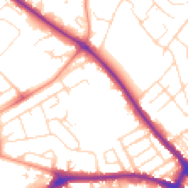
Daytime· 07:00 – 23:00
52.5dB

Night-time· 23:00 – 07:00
42.2dB